Today was probably the best day on Route 66. The weather was hot but otherwise great and the roads were mostly pretty good. I woke early to the morning sun shining through my lone window. And as hard as the bed was, I actually slept well. The sky was mostly clear which is something I’ve been blessed with all but one day this trip. It’s another cool start as I head out.
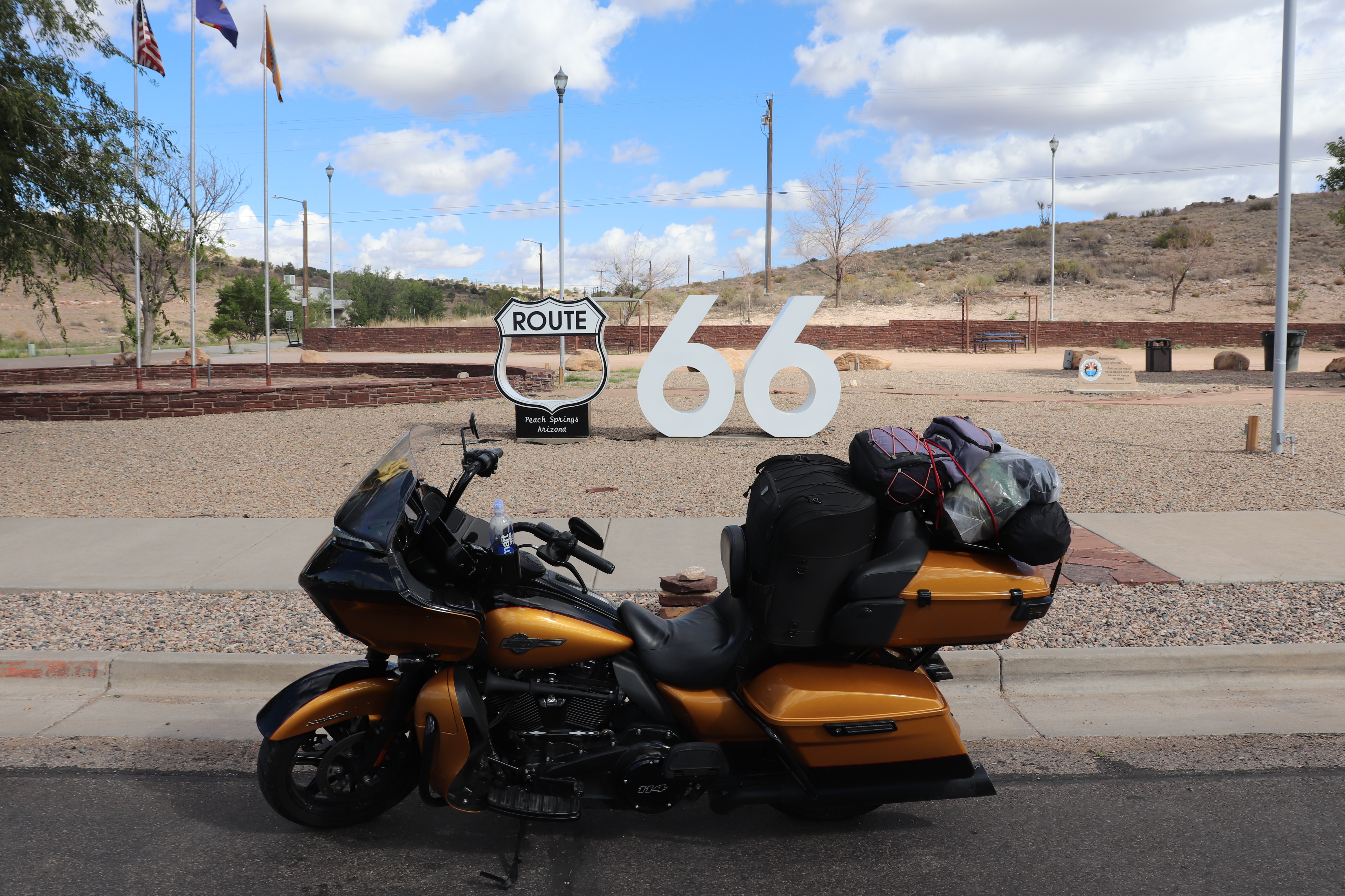
I stop at the edge of town to fill up before continuing down Route 66. The route runs north out of town towards the small town of Peach Springs. It’s very flat on this stretch of road with no signs of man, save a few sets of Burma Shave signs. I don’t recall what any of them said at this point, but they were all enjoyable to read. The road eventually begins to wind into the hills and finally crests allowing me to look down on Peach Springs. It’s a very small town but it does have its own Route 66 sign, so I stop for my first photo of the day.
I have no cell service in Peach Springs, which also means no GPS. That isn’t a problem, though, because the road leads straight to Kingman. The stretch from Seligman to Kingman is in good condition. It’s only two lanes, but it has a wide shoulder and isn’t too rough. The road winds through mountain valleys and hills, where rock faces rise right up beside it. I come out of the hills as I near Kingman and the mountains push back into the distance.
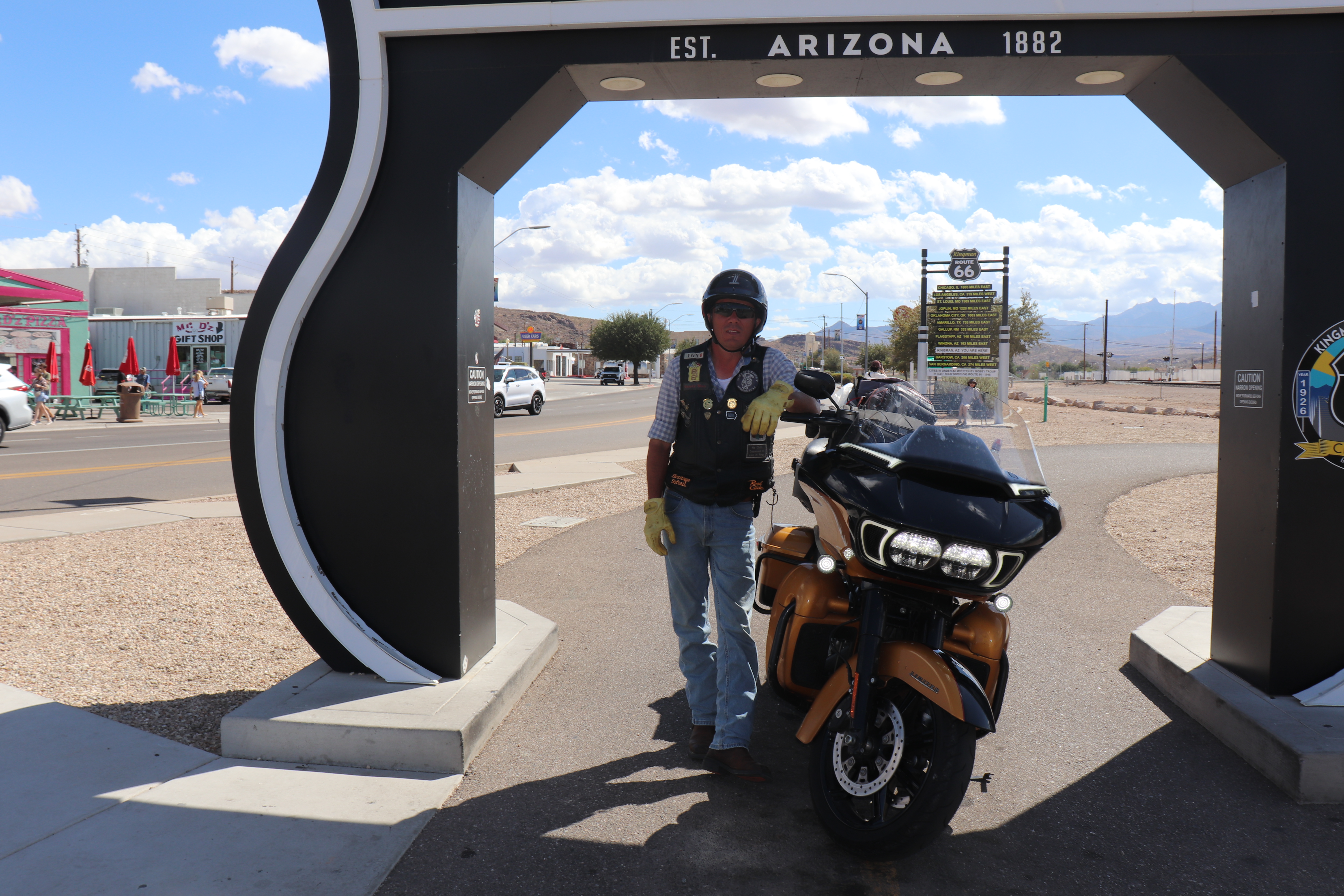
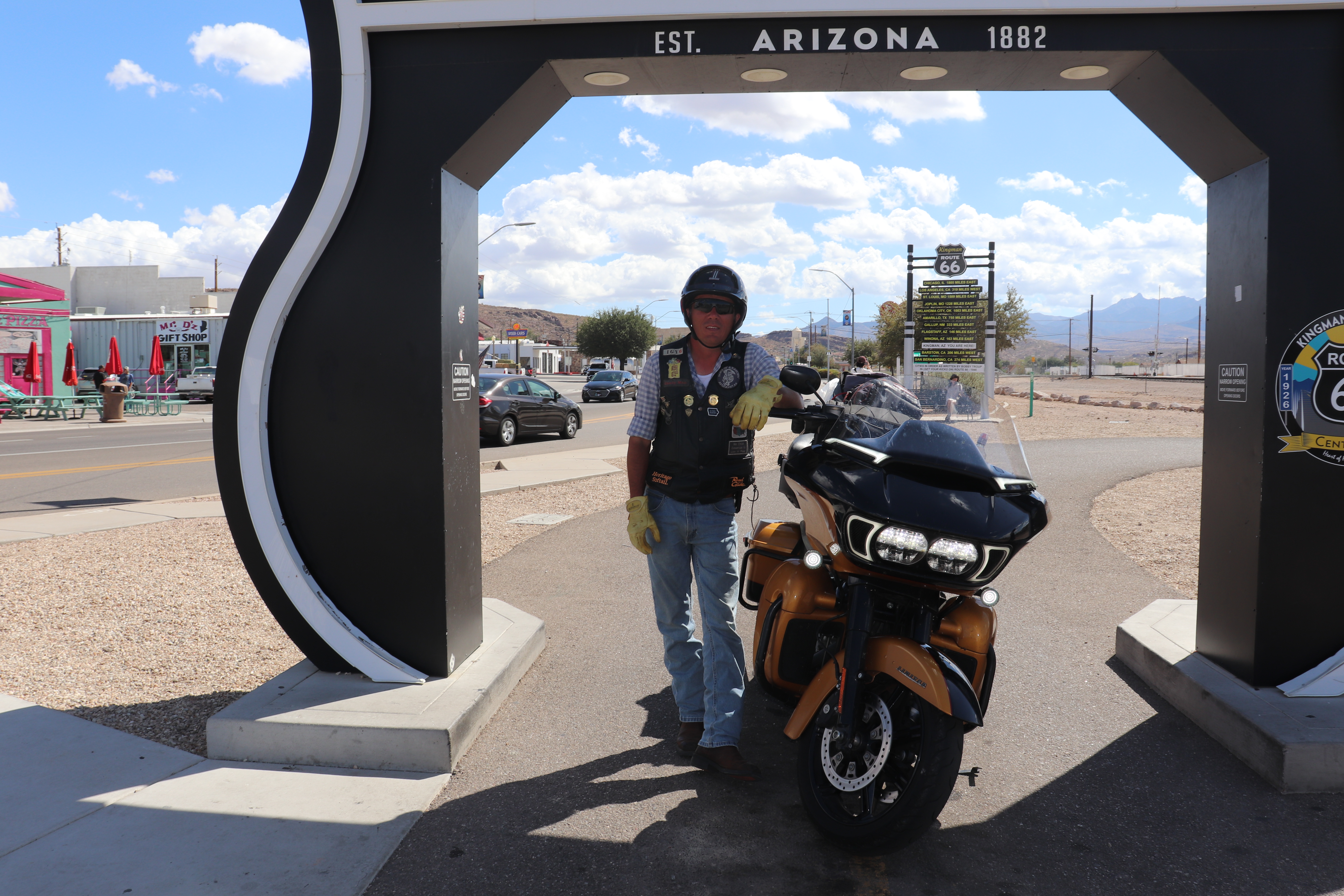
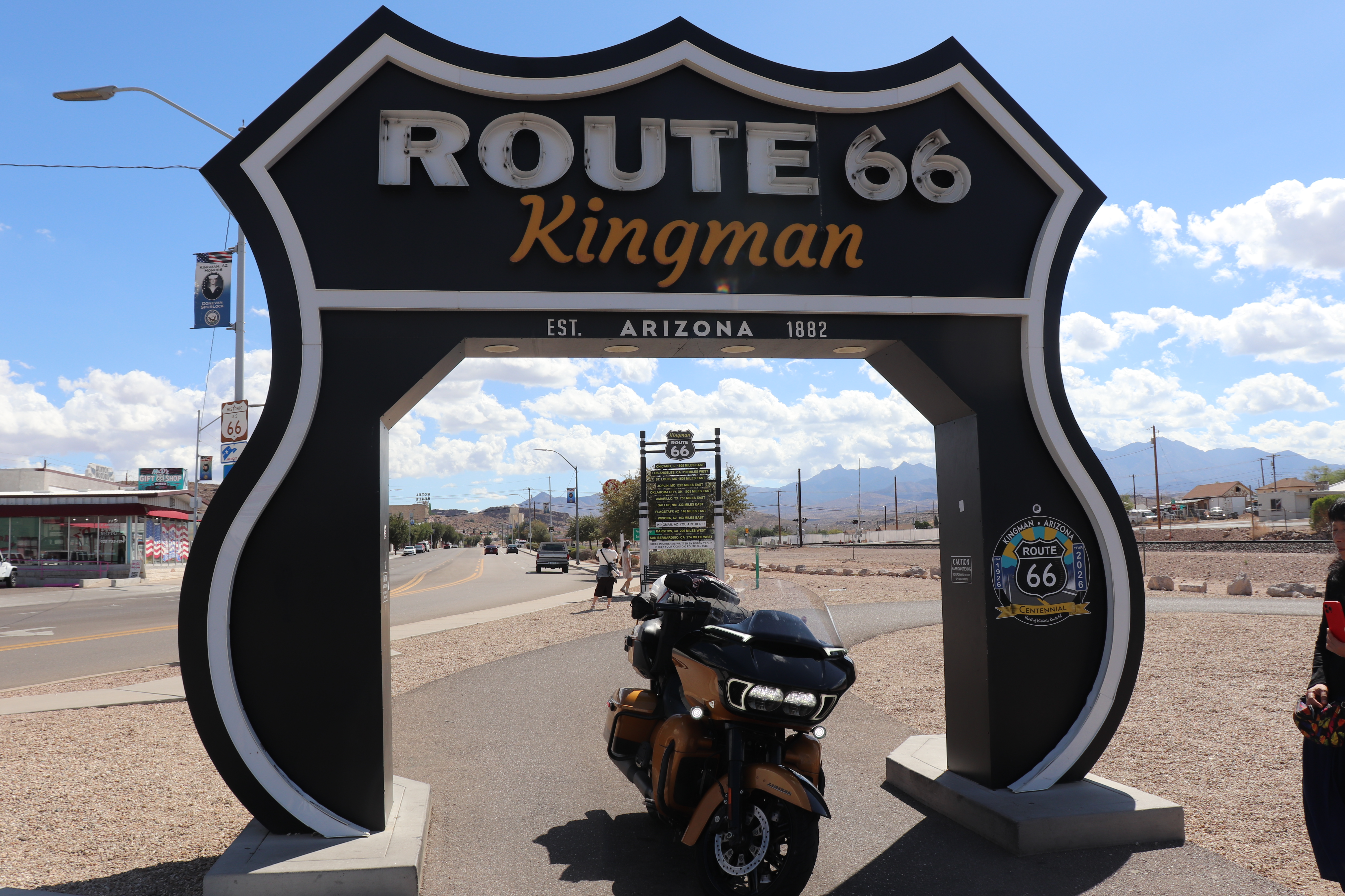
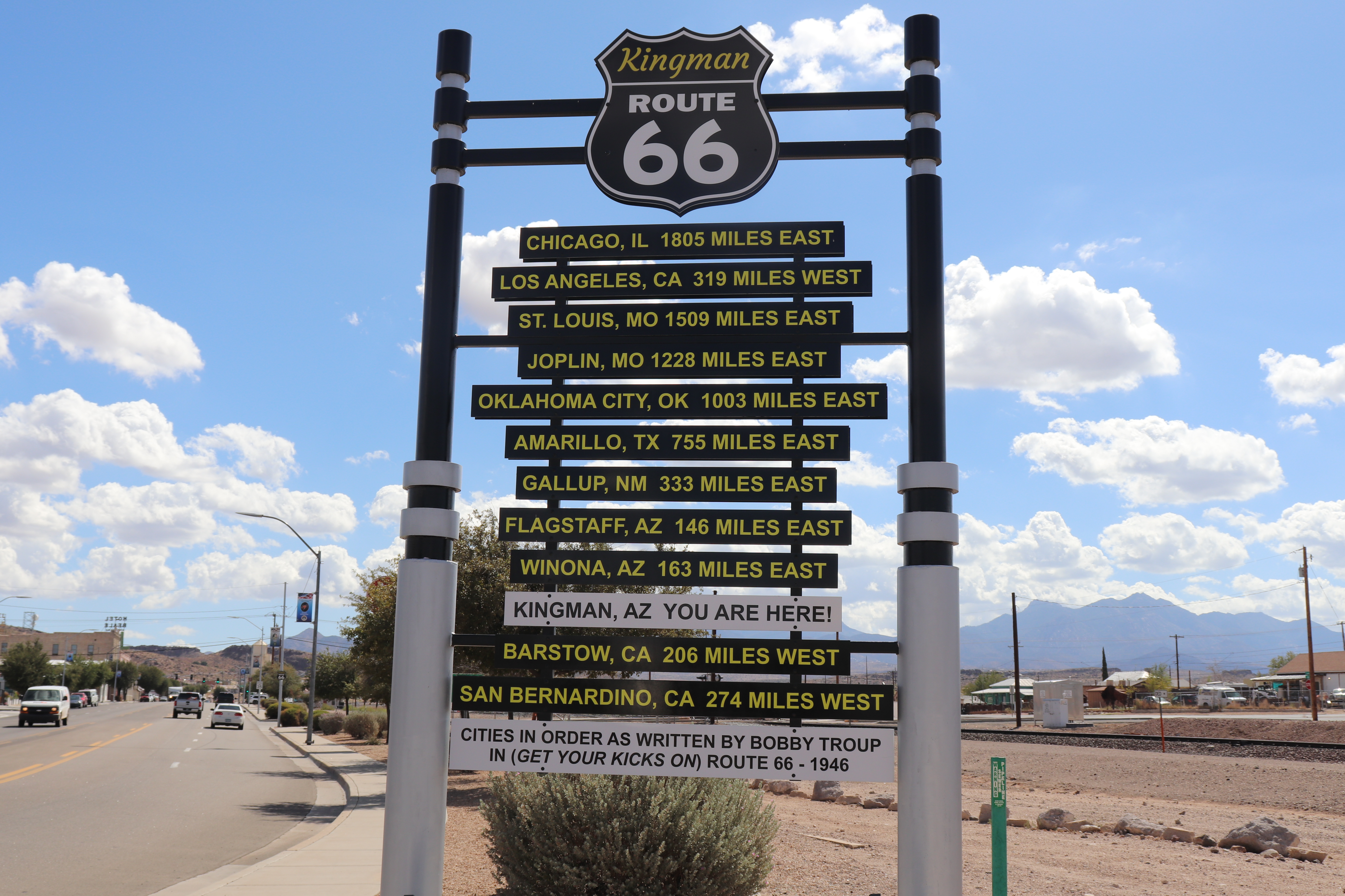
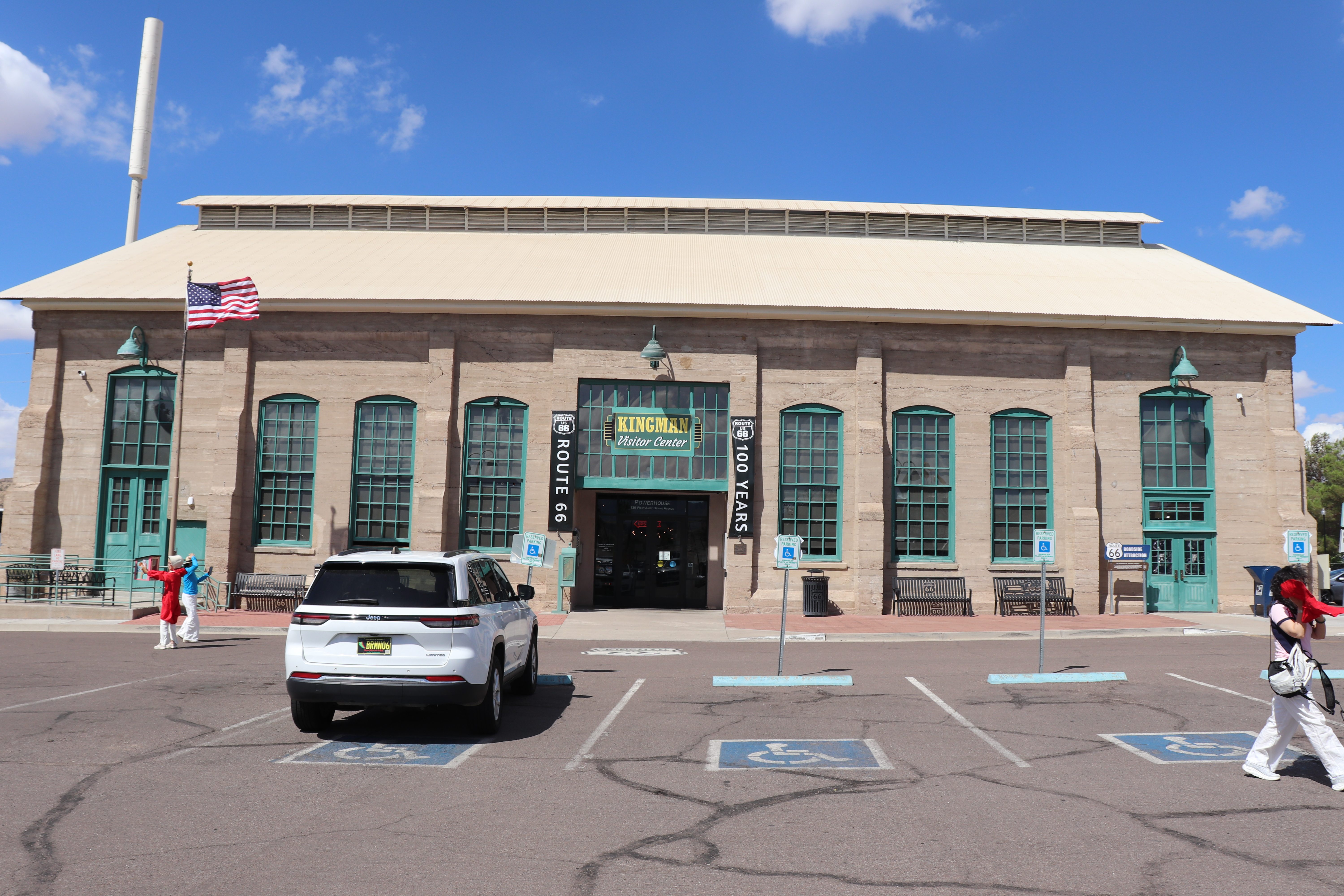
In Kingman, I find another drive-through sign at the Kingman Visitor Center. A busload of Korean tourists is there, and they keep stepping up to the sign for photos, either not noticing or not caring that I’m waiting. Eventually, I have to ease my way through. A couple of good engine revs gets their attention, and they move aside. After parking the bike, I return to photograph a directional sign and take pictures for a few of the tourists, as I’ve done countless times on this trip.
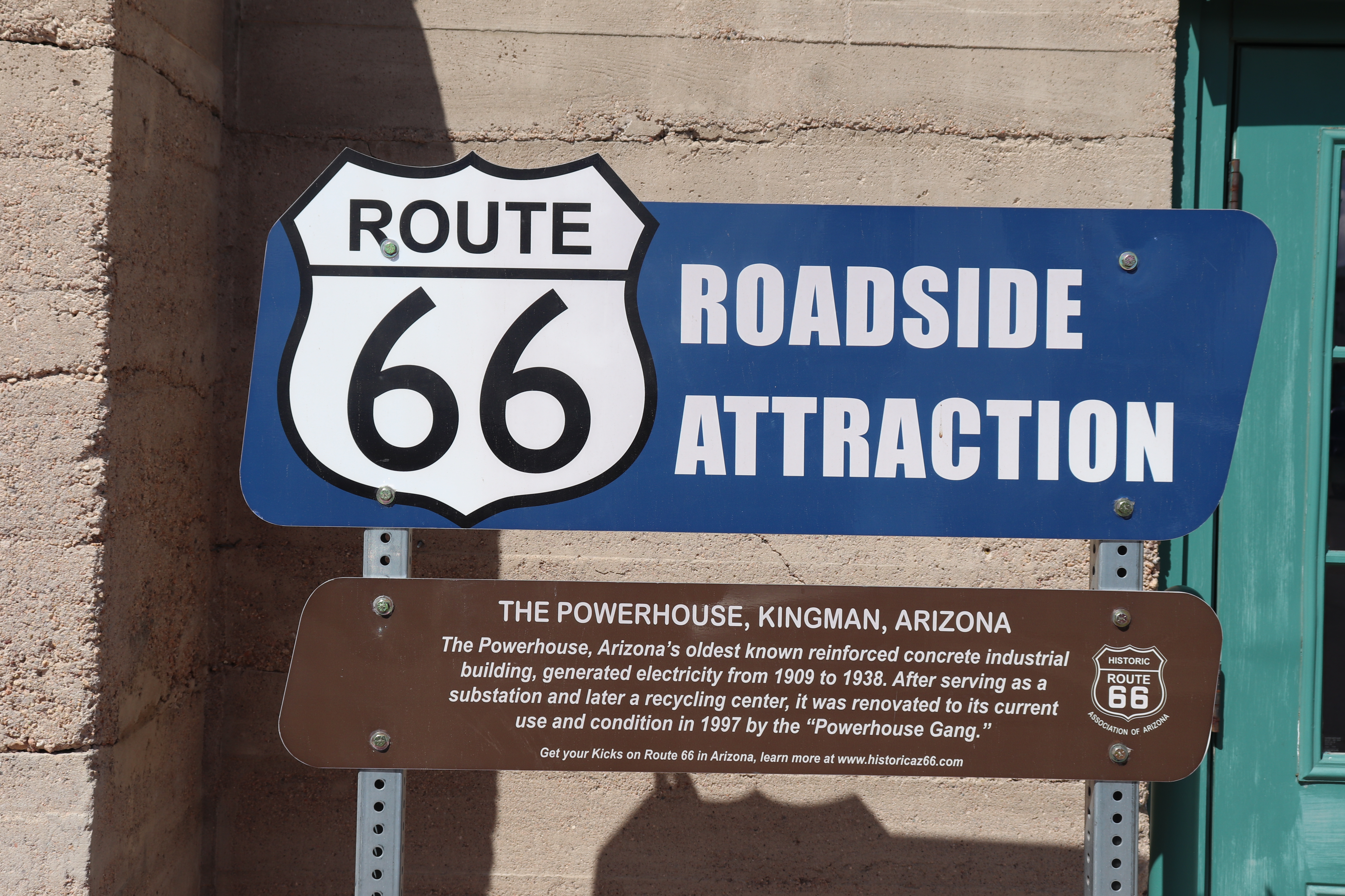
The building that now houses the visitor center was originally a powerhouse, later became a recycling center, and eventually took on its current role. Inside are a Route 66 museum and a couple of gift shops. I’ve already bought a Route 66 patch for my vest, but I find a great centennial patch and decide to get it too. As I’m preparing to leave, a couple of Korean women walk past. I don’t understand what they’re saying, but I can tell one of them wants a photo with Laurelin, and I’m happy to oblige. Then I head out for Oatman, the day’s highlight.
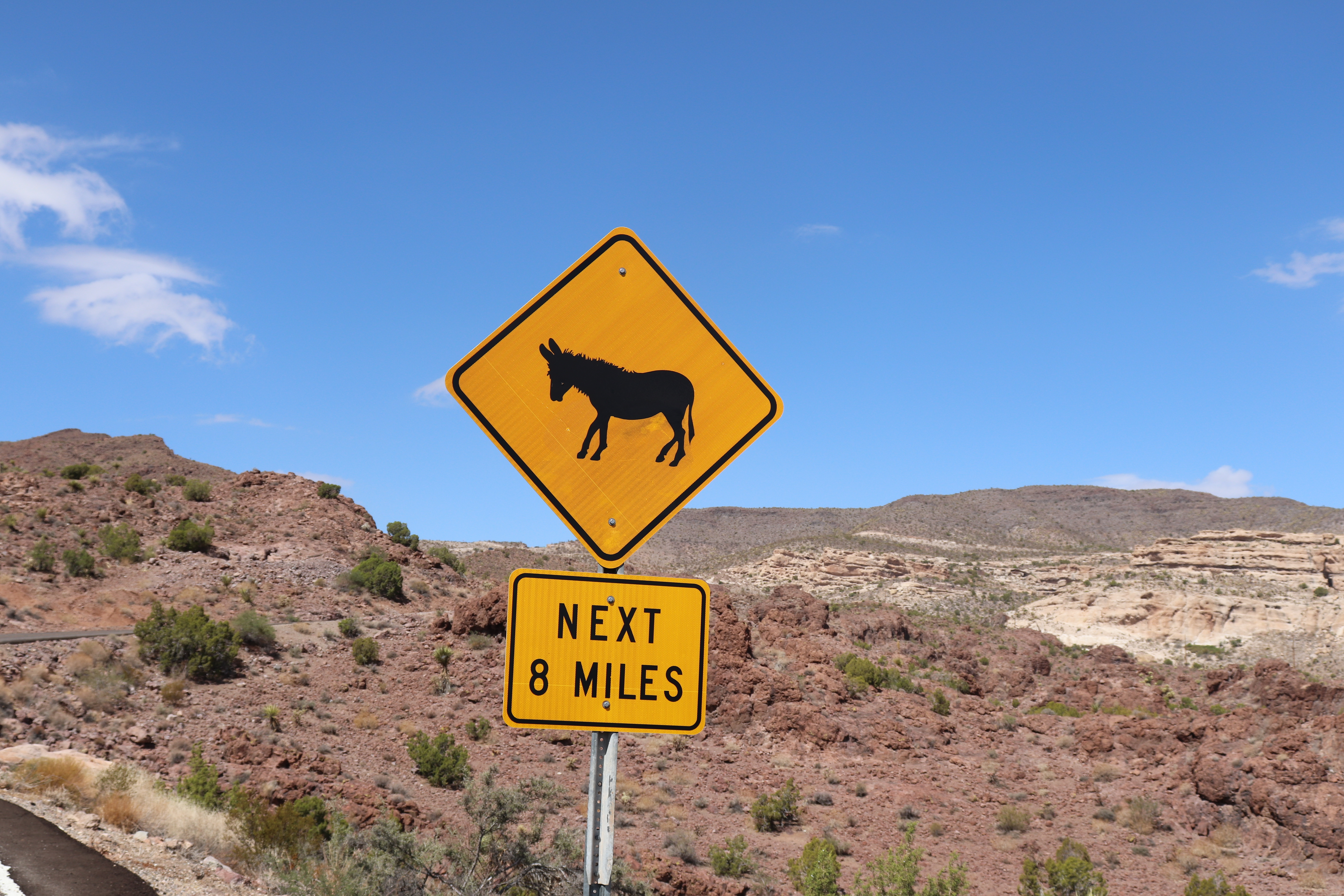
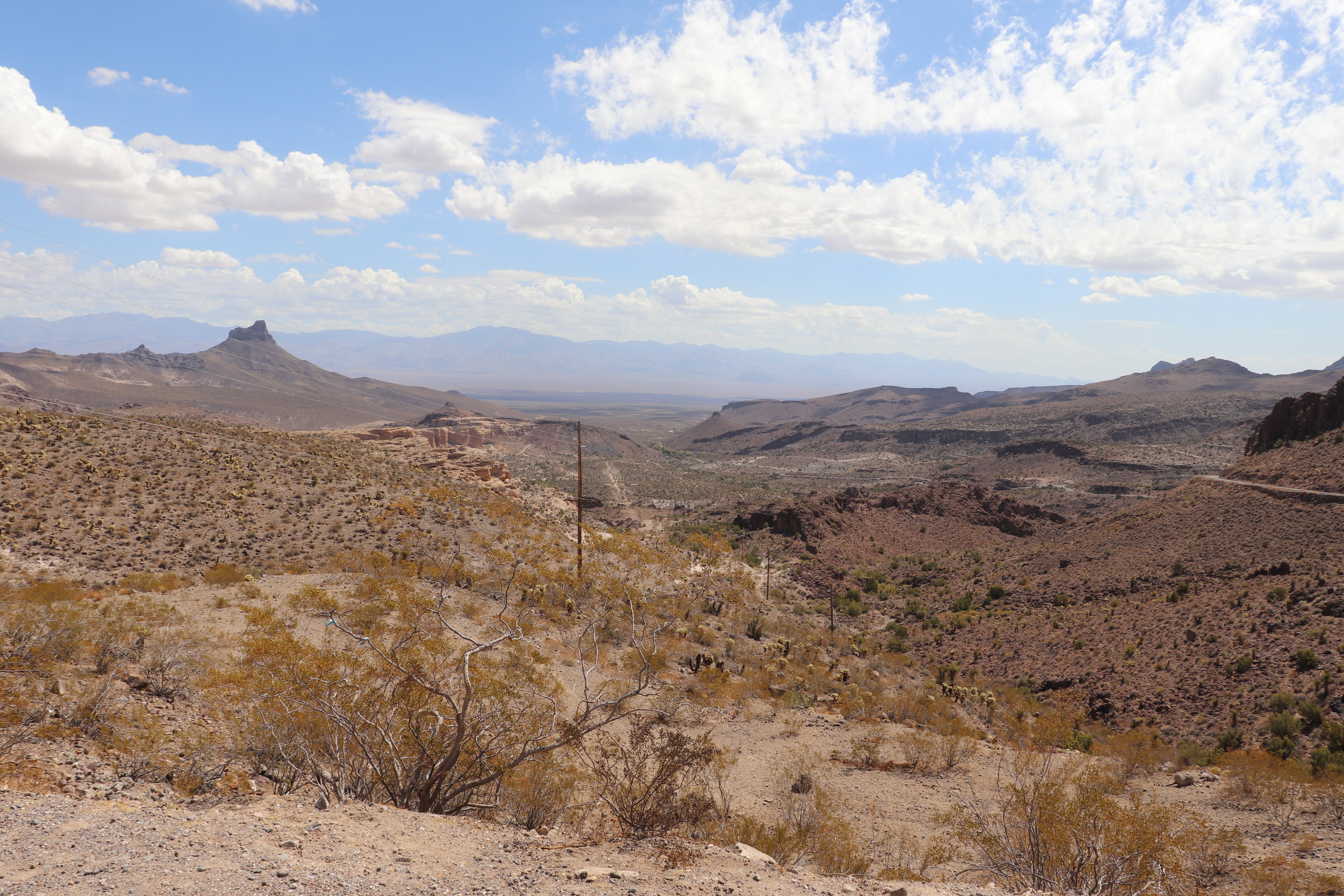
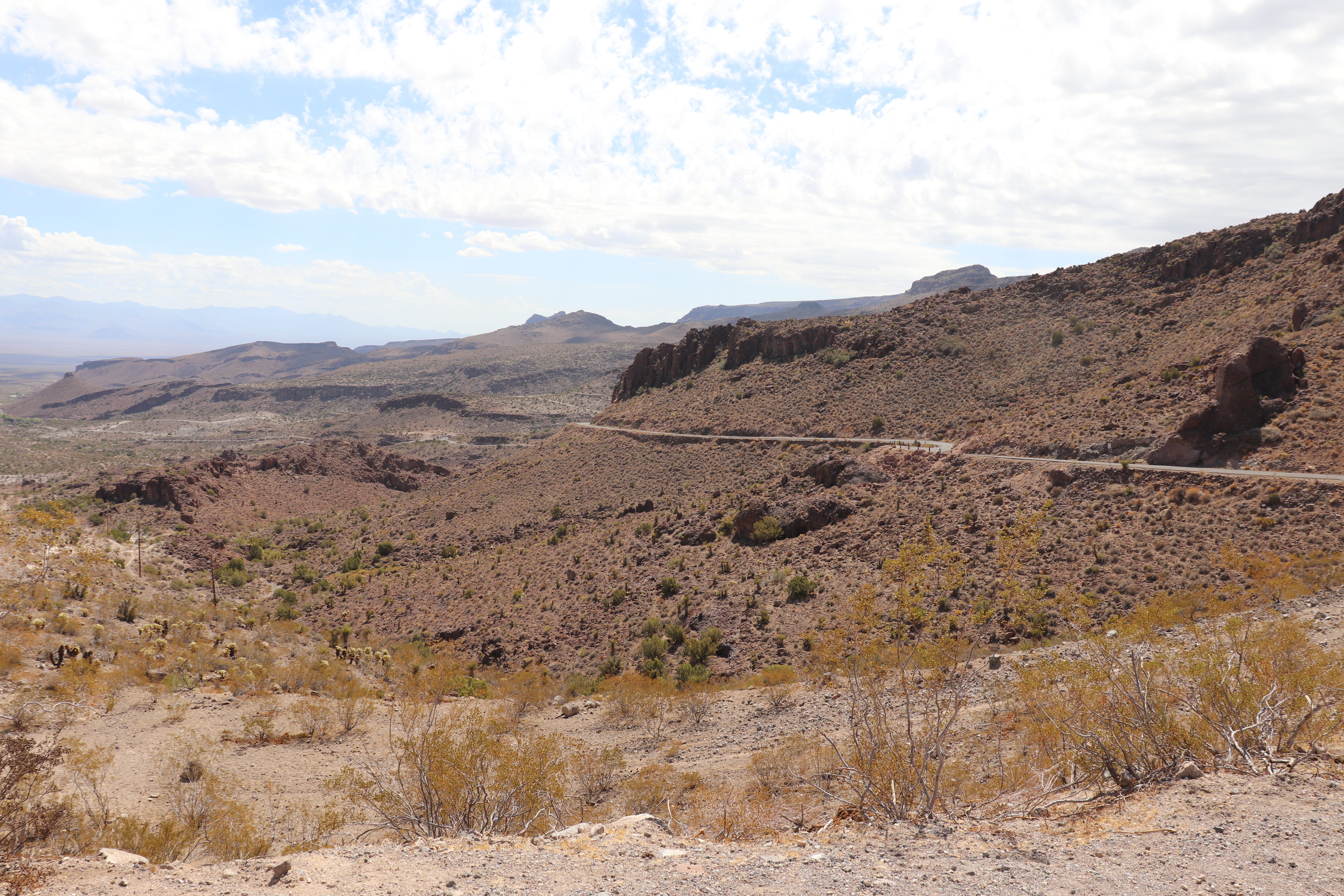
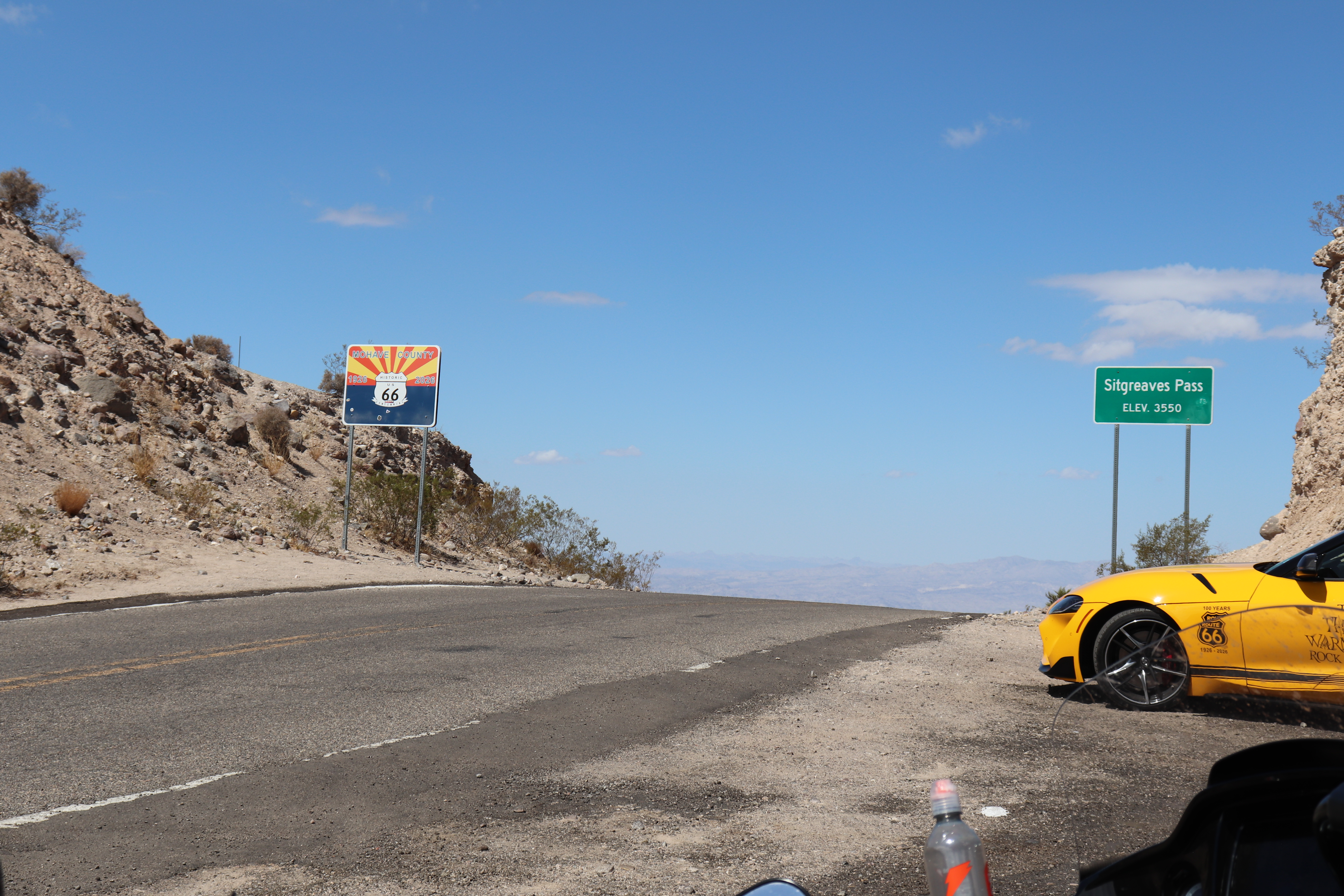
I still have plenty of gas, but I top off the tank just in case. I don’t know what lies ahead, and I want to be safe. It gets fairly windy leaving town but never more than a gentle gust pushing me to one side. Old Oatman Highway almost immediately begins twisting through the hills, with rock faces once again rising close to the road. Soon it flattens out and runs for several miles through the desert, where the only shoulder is sand and gravel. Eventually, I reach the Arizona Sidewinder, an eight-mile mountain pass that is very narrow, has no guardrails, and includes 191 curves along with free-roaming burros.
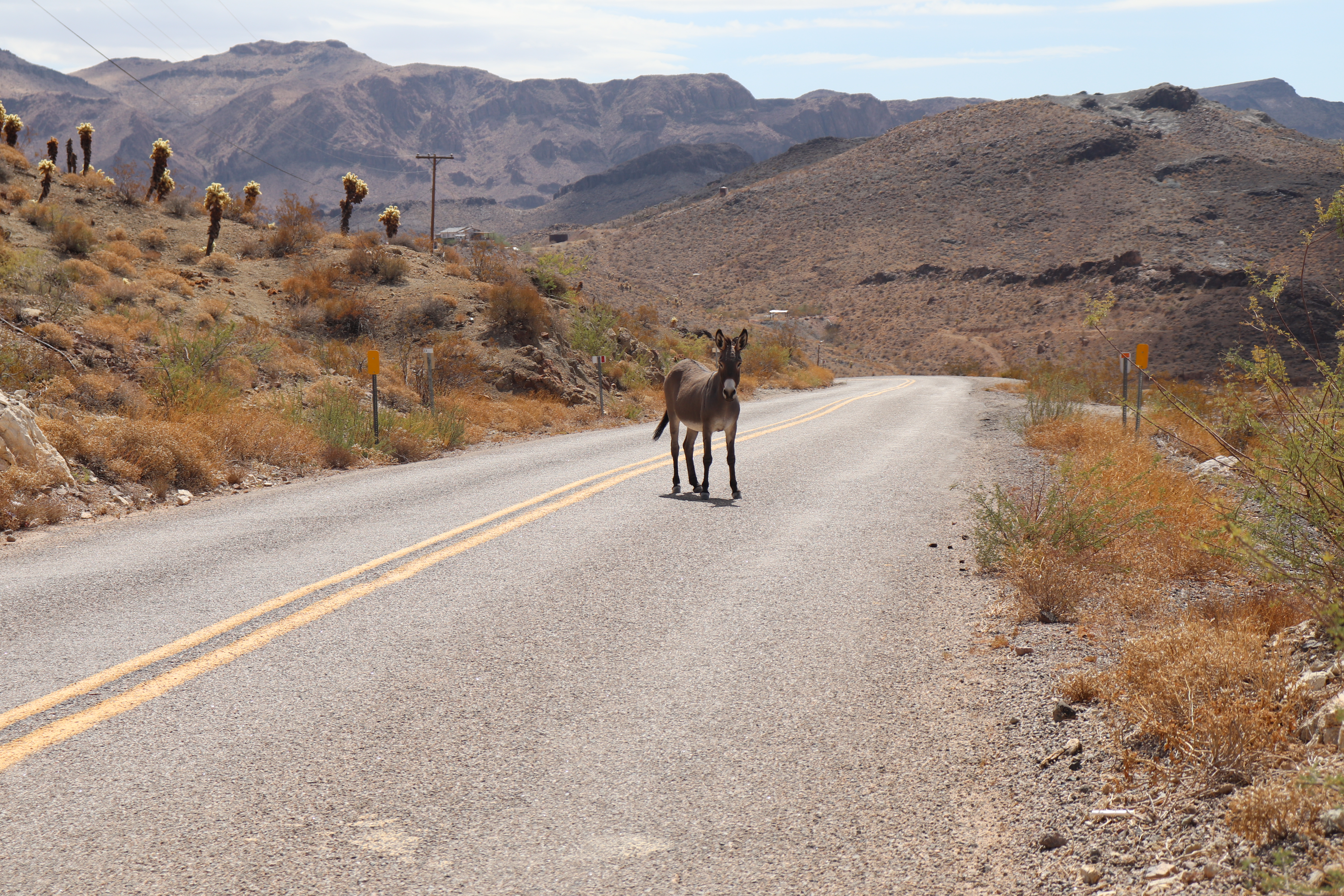
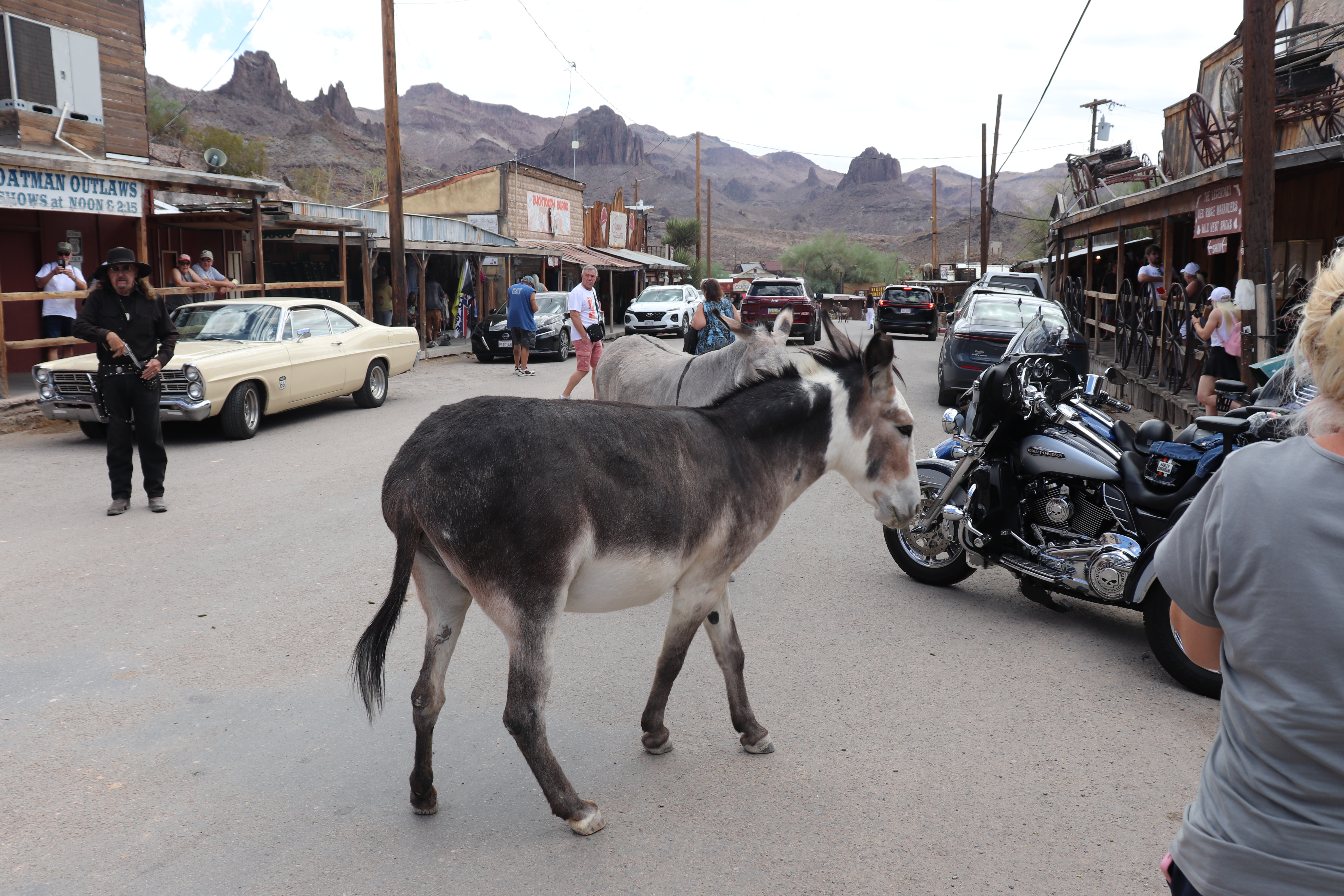
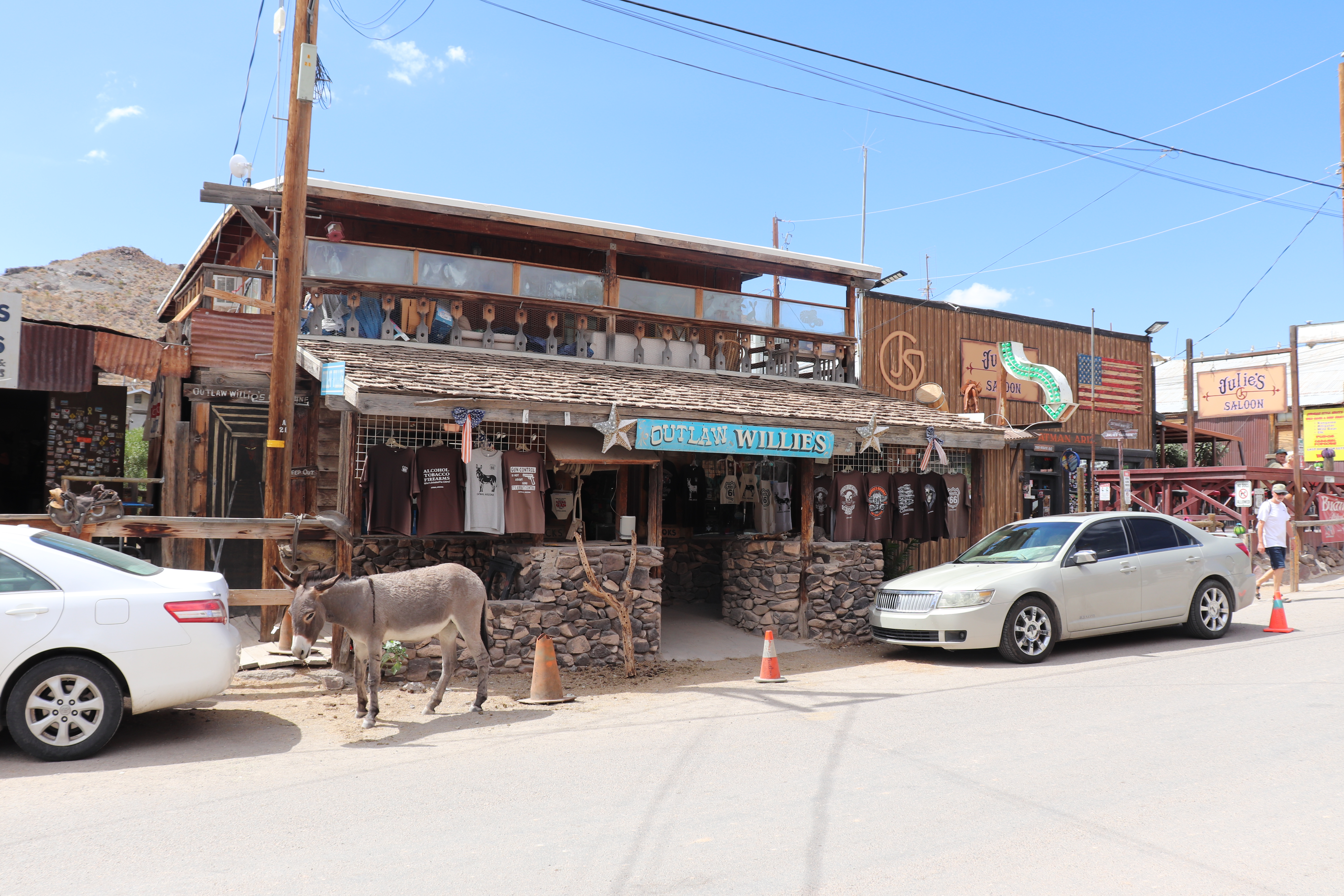
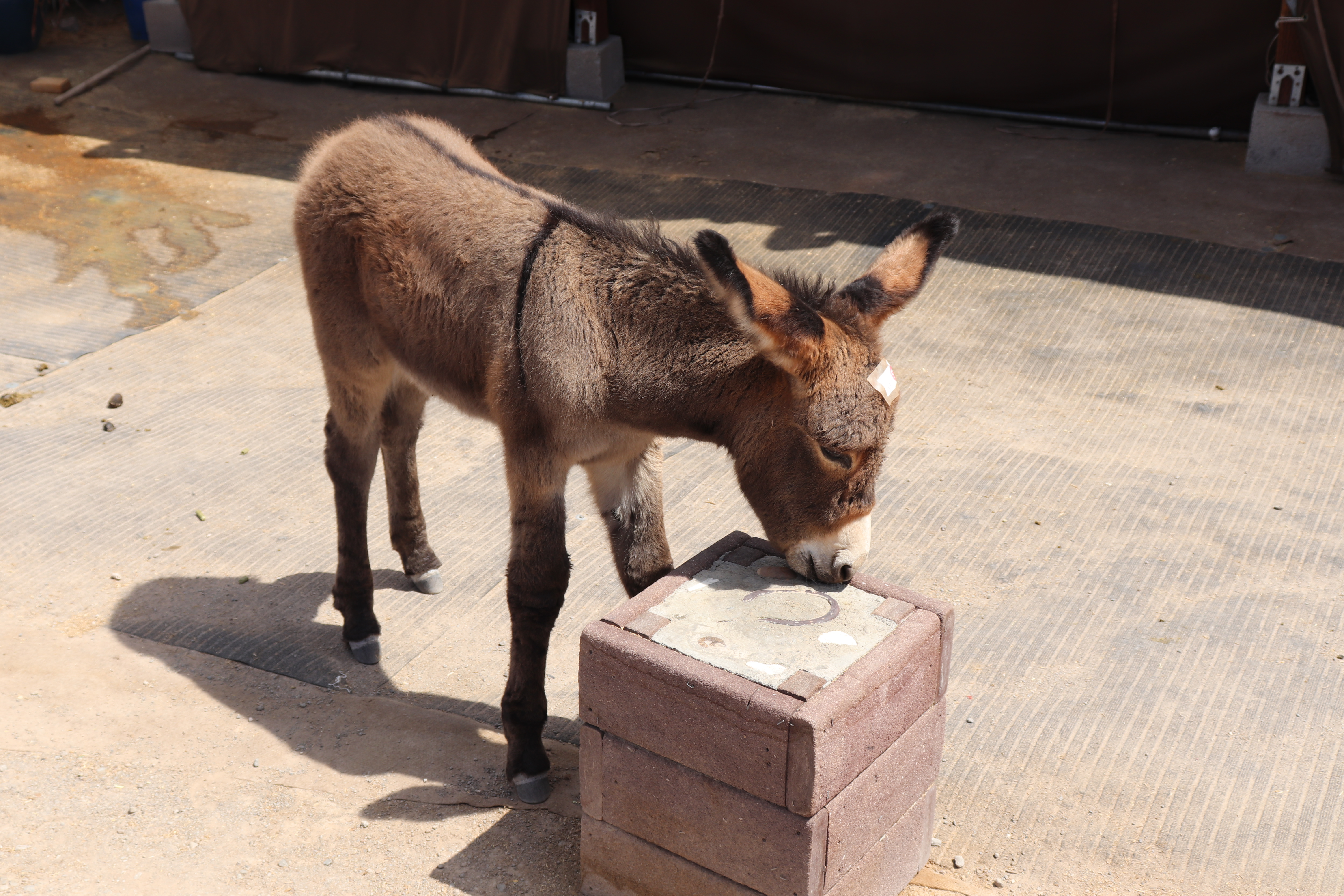
I get through only a few curves before nearly hitting a burro. He’s standing in the middle of my lane just beyond a bend, far sooner than I expected to see one. Fortunately, the road is slow, and I am able to get around him easily. Yes, it was definitely a him. Even with a few oncoming cars, I hug the centerline because there are no guardrails and the drop-offs are enormous. I’ve ridden several mountain passes and curving roads, including the Tail of the Dragon and the Three Twisted Sisters, but the Arizona Sidewinder is the most challenging I’ve encountered. The burros add an unpredictability none of those other roads can match. The burros aren’t like deer darting across the road; they stand right in the middle of it and do not care that you have arrived. They don’t startle and run off, they simply stay where they are, unaffected by your presence.
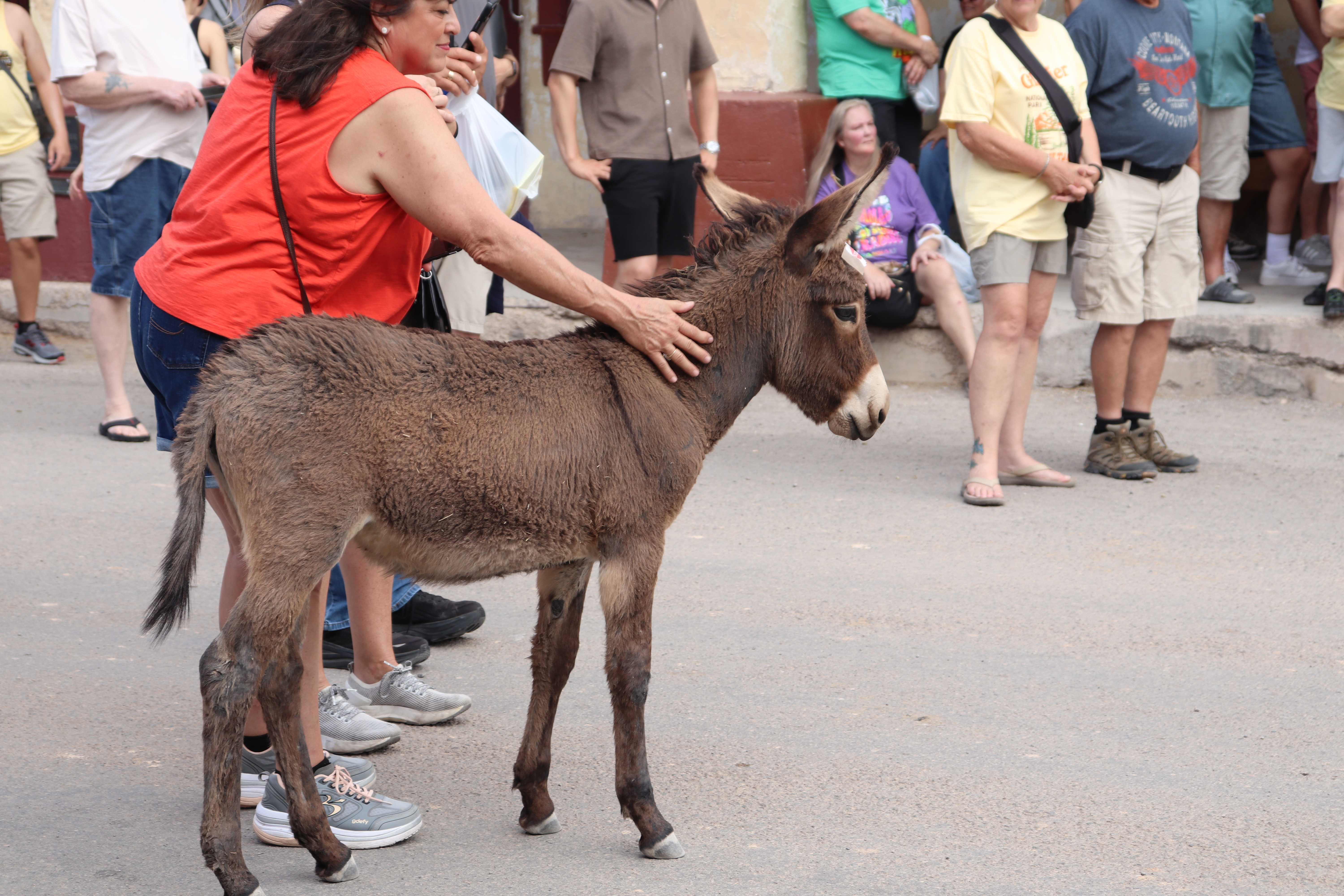
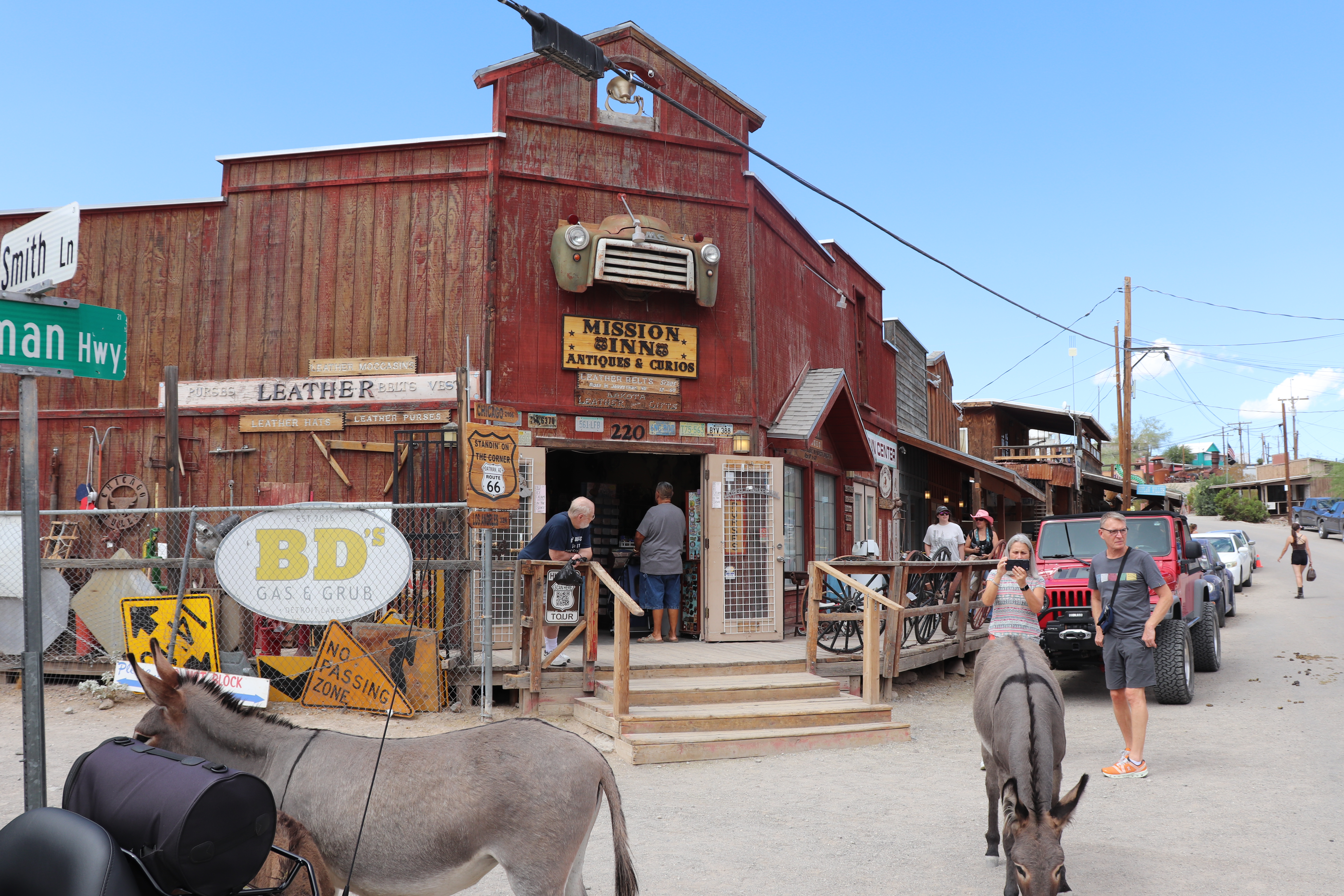
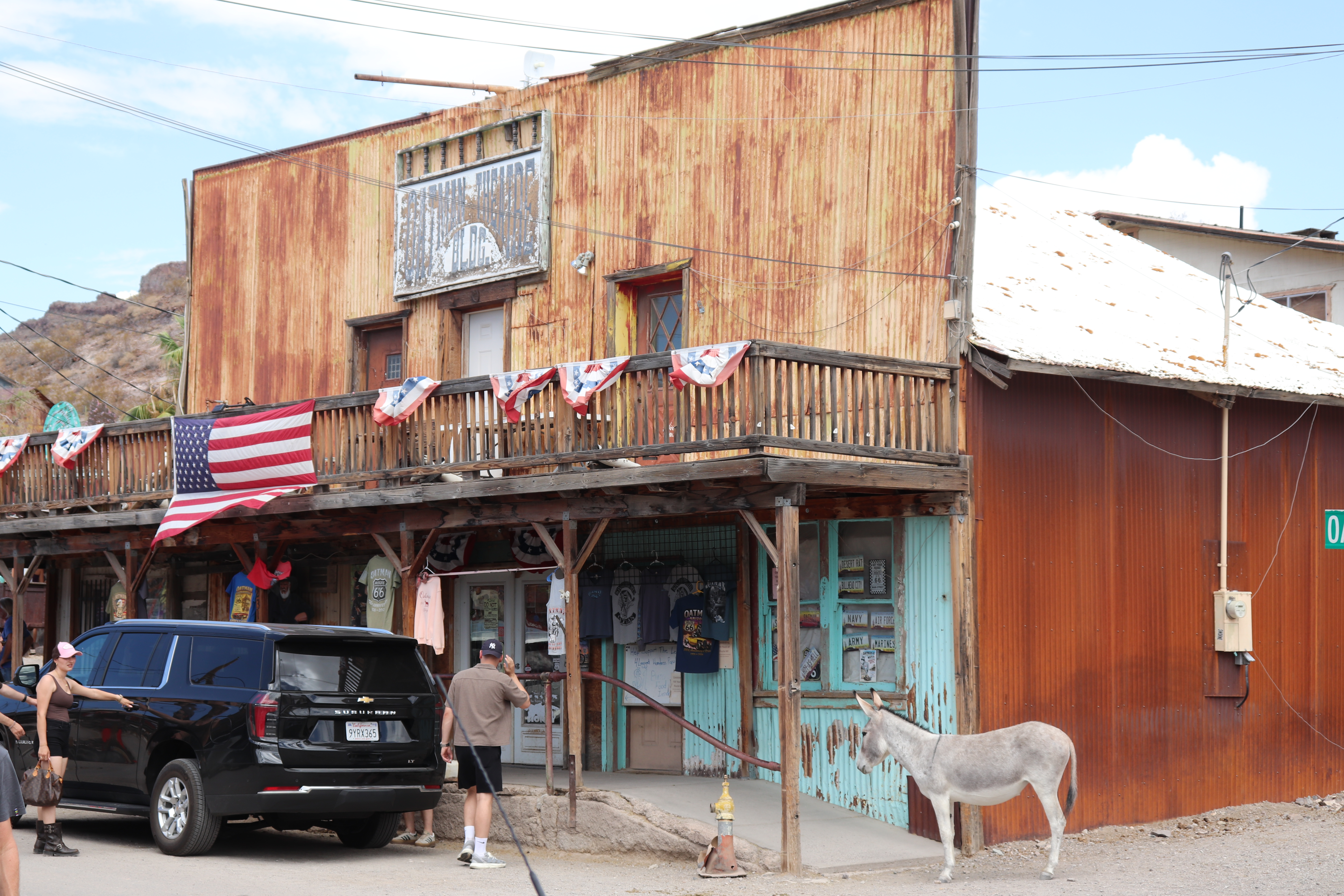
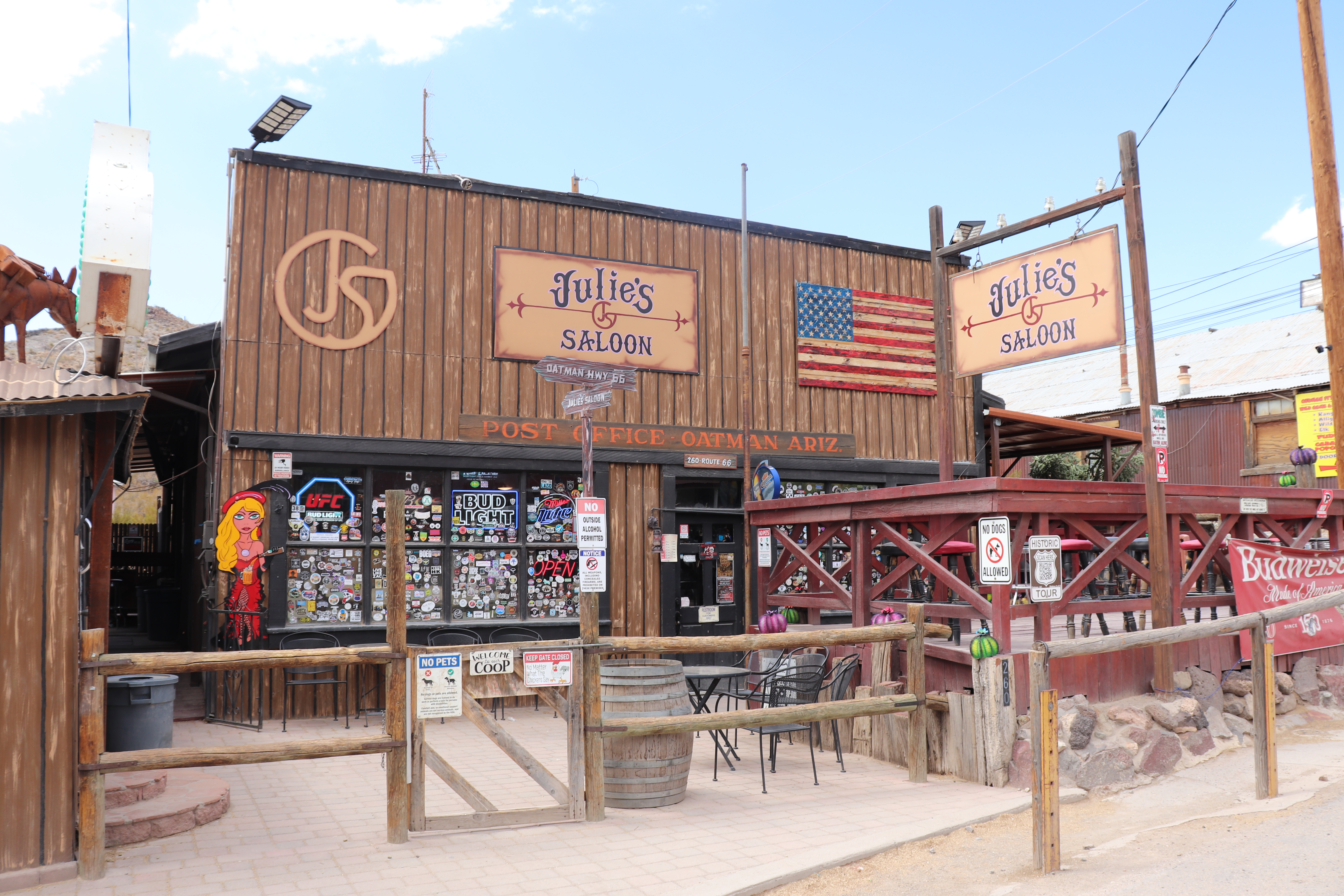
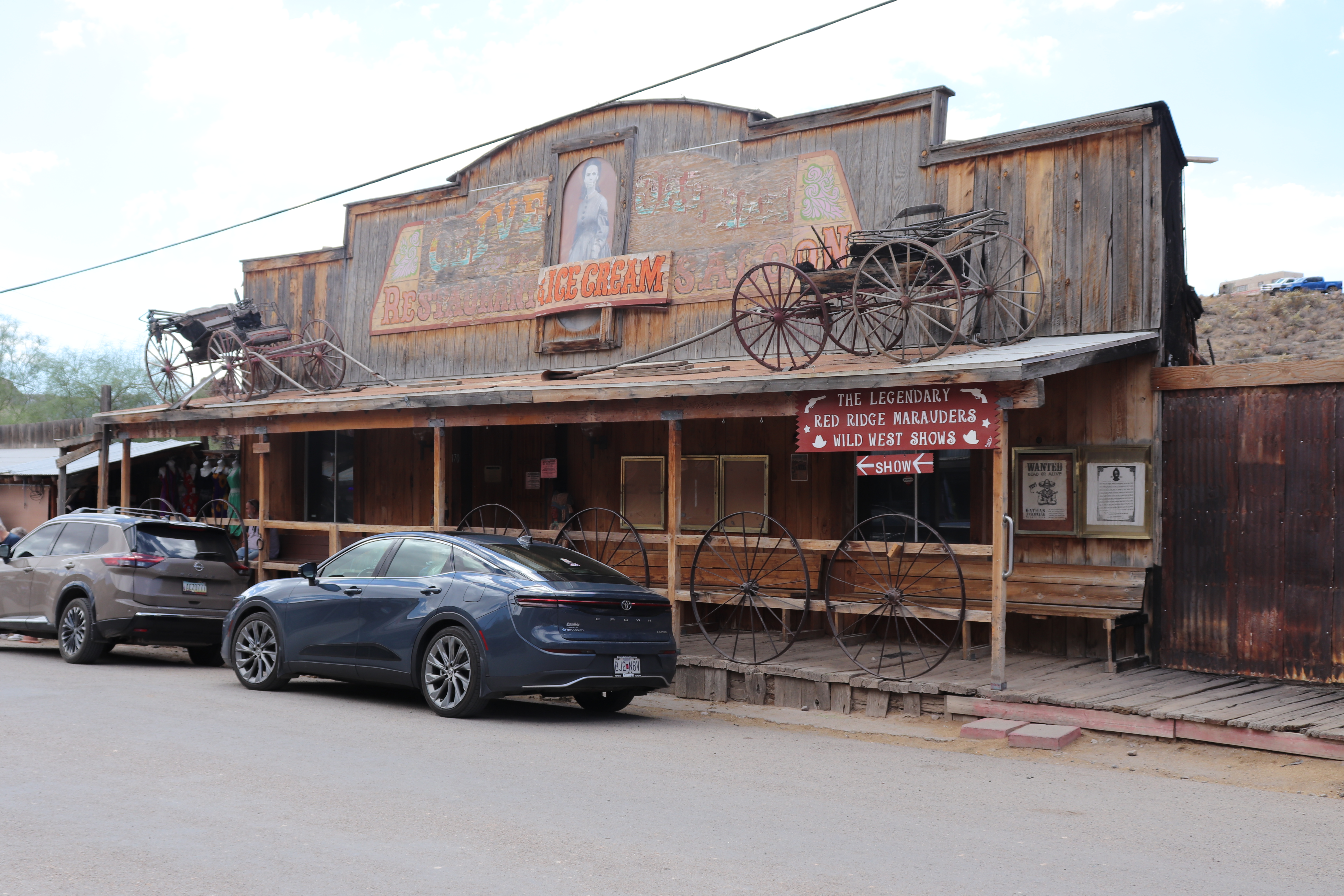
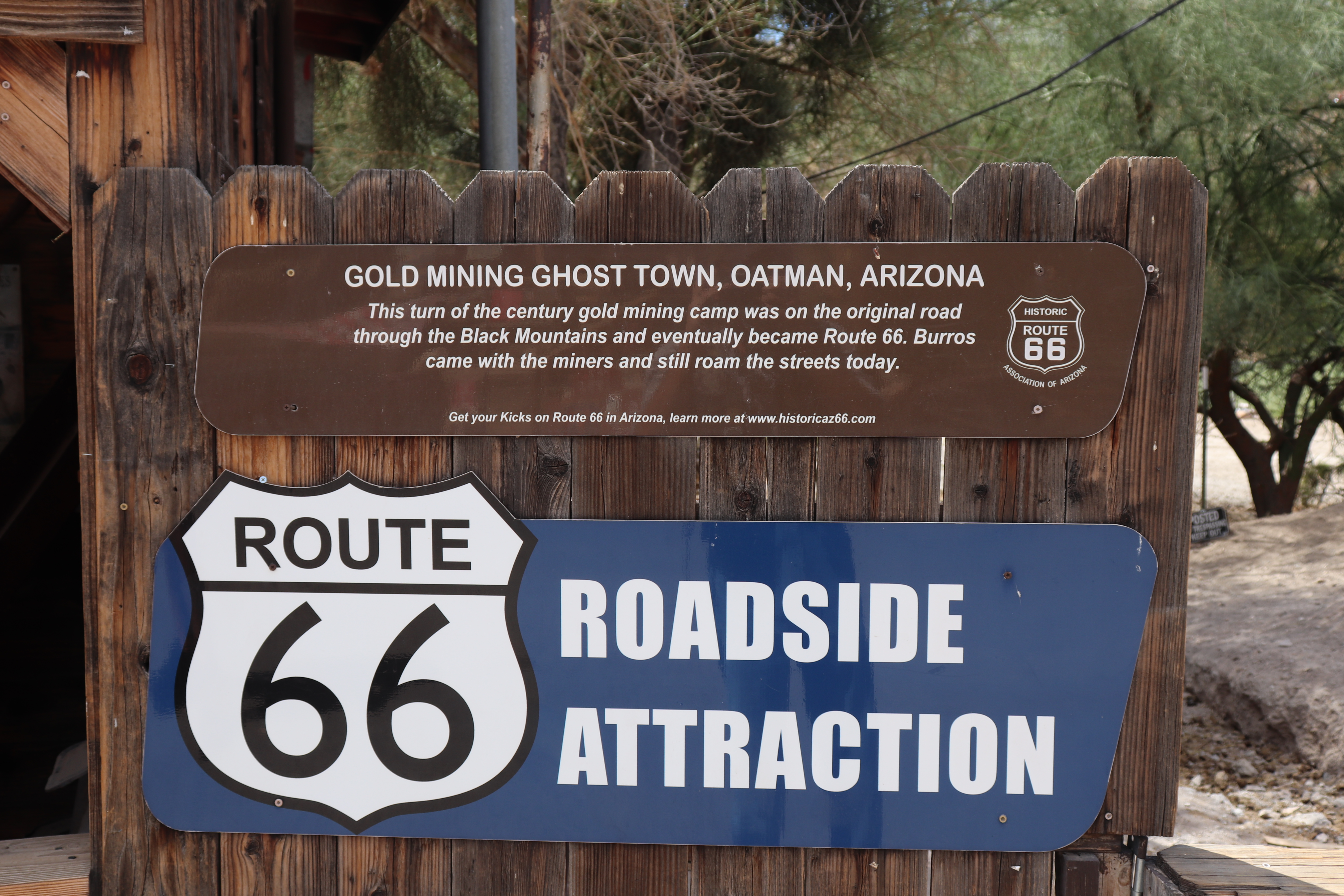
The old town of Oatman is quite a sight, with wild burros roaming freely through the streets. It began as a small mining camp after two prospectors discovered $10 million worth of gold, an enormous sum at the time. At its peak, the town had more than 3,500 residents. In the early 1940s, the government shut down mining operations to support the war effort. Route 66 remained a major road between Kingman, Arizona, and Needles, California, but with the mines closed and I-40 later diverting traffic, Oatman dwindled to a population of about 100. The original miners used burros to haul their gear and supplies, and when the miners left, the animals were no longer needed and were turned loose. The burros that roam the streets today are their descendants.
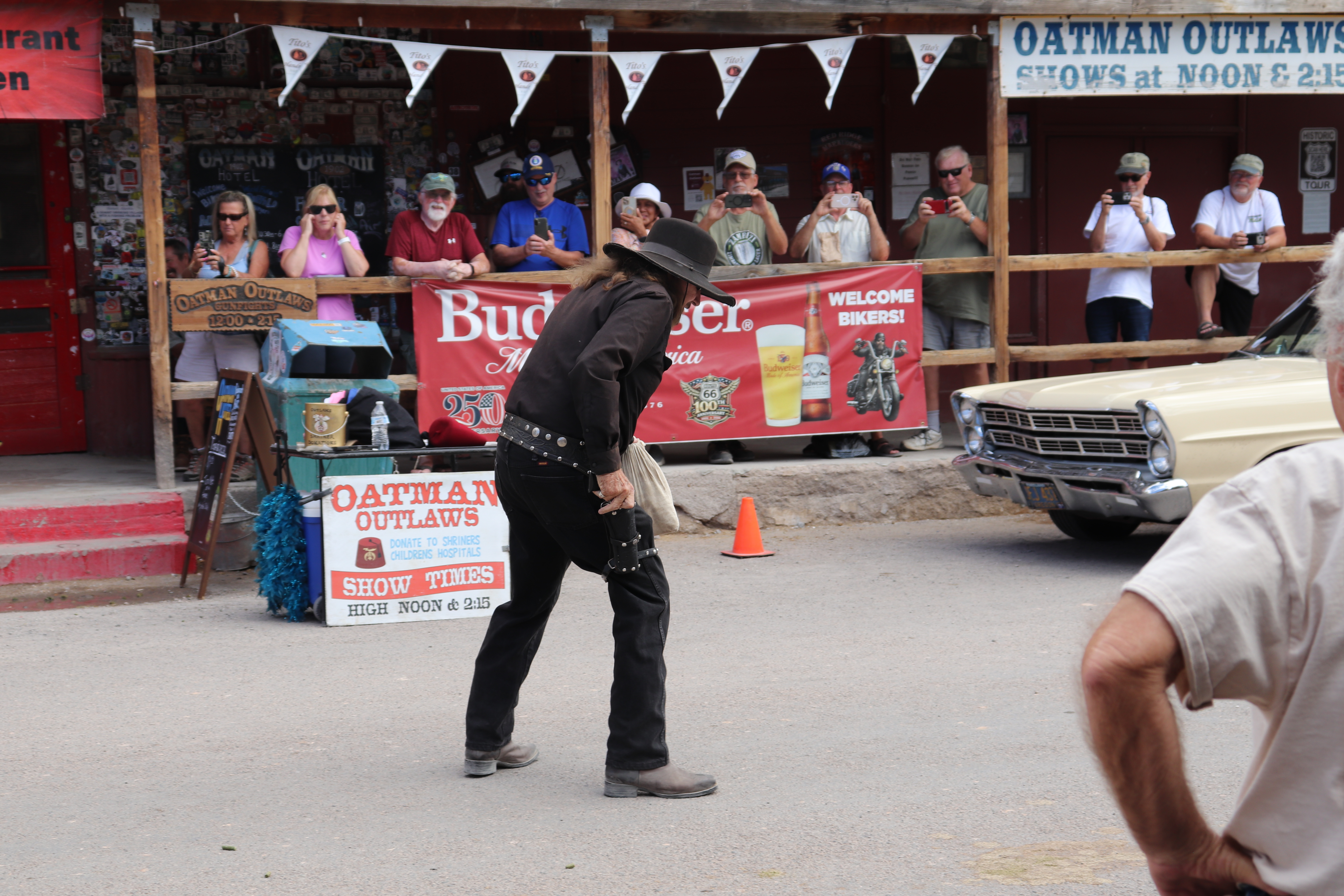
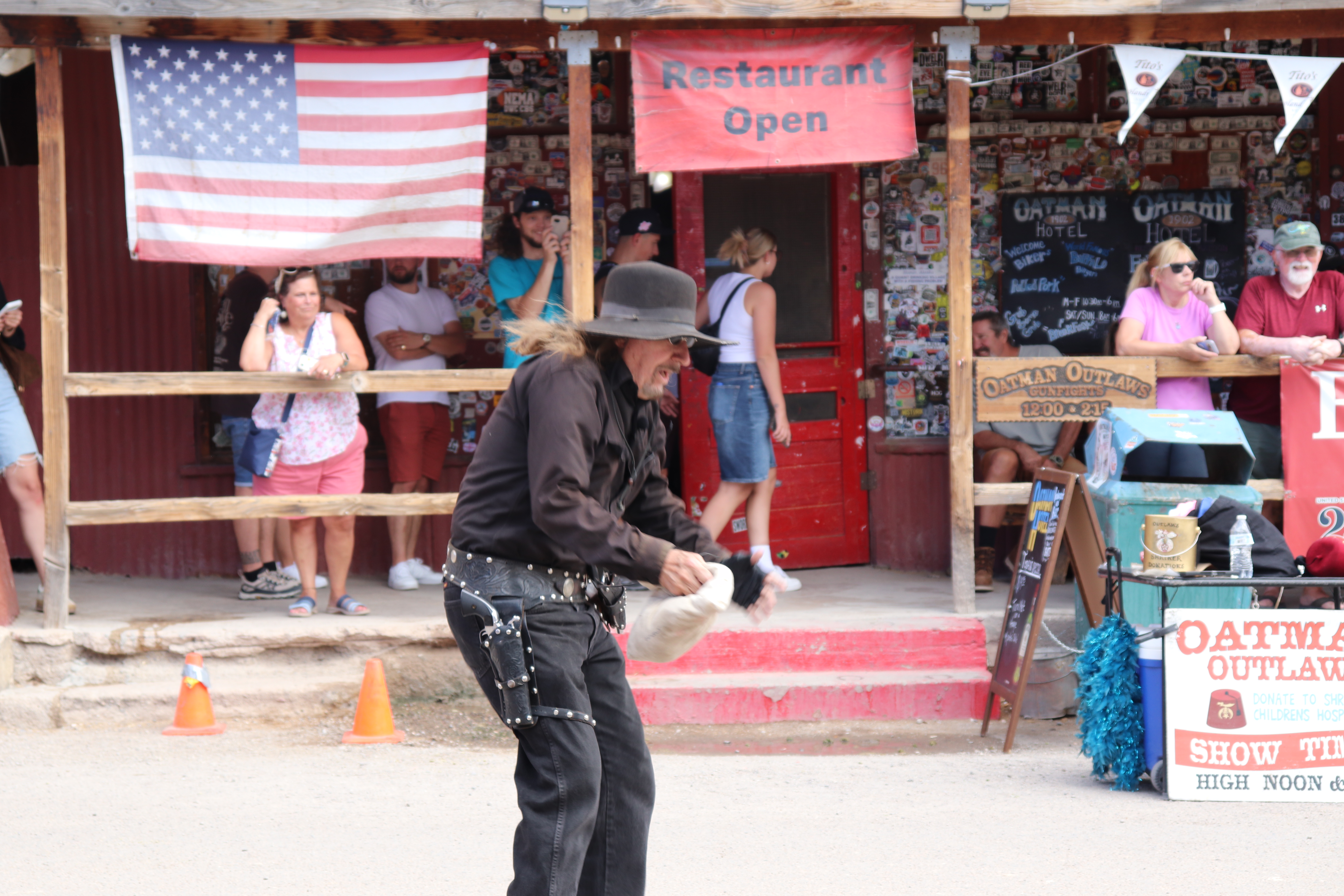
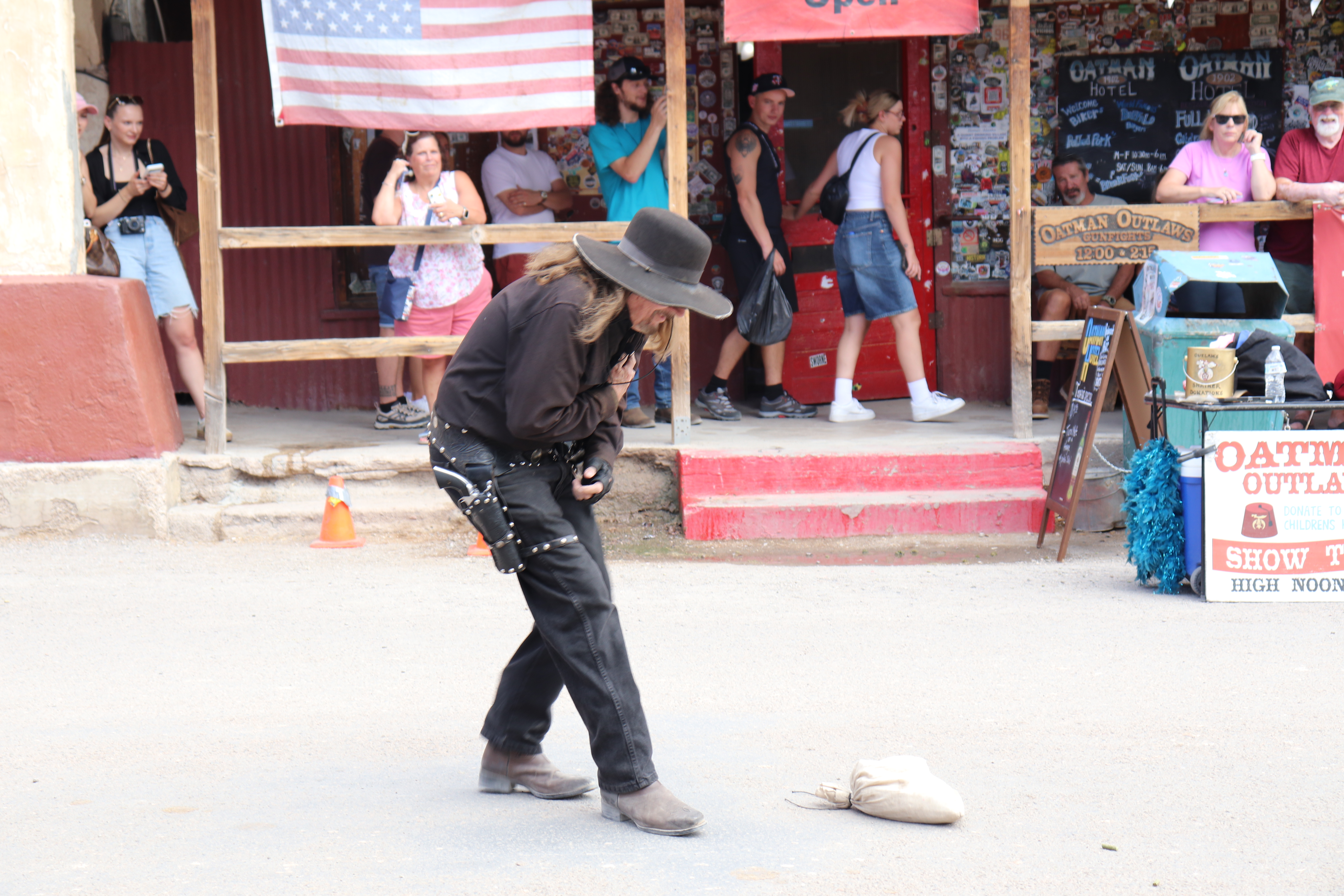
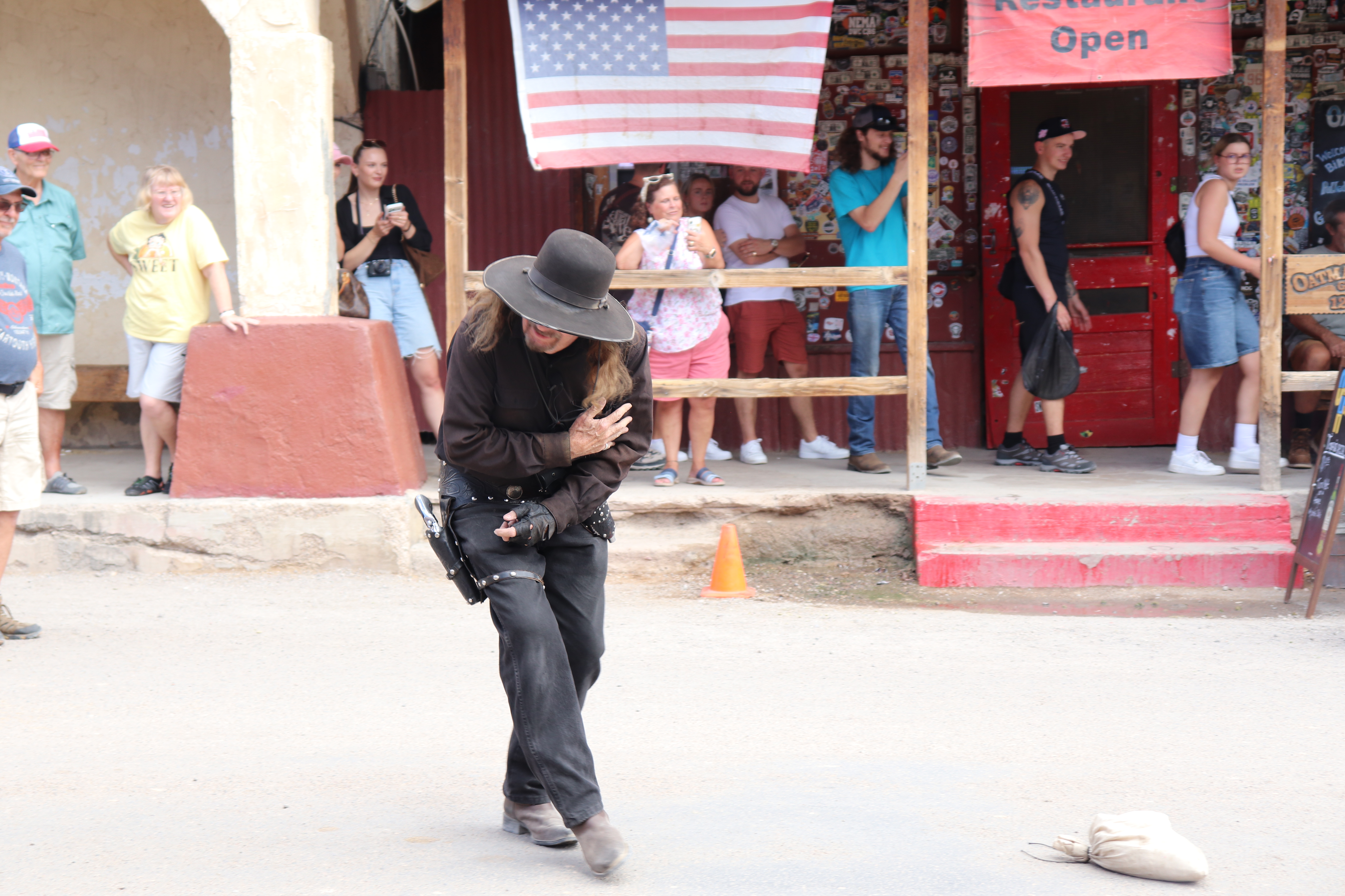
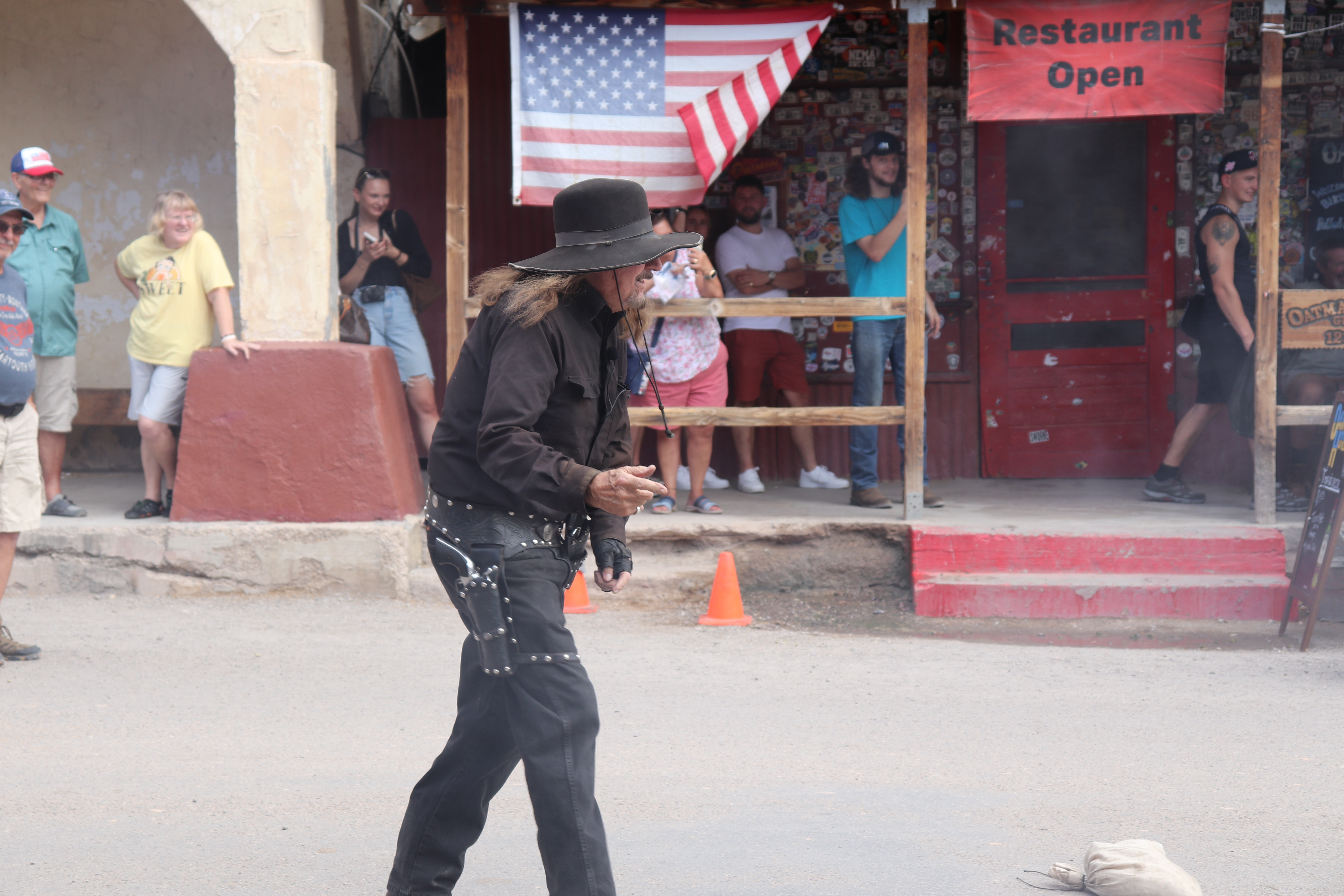
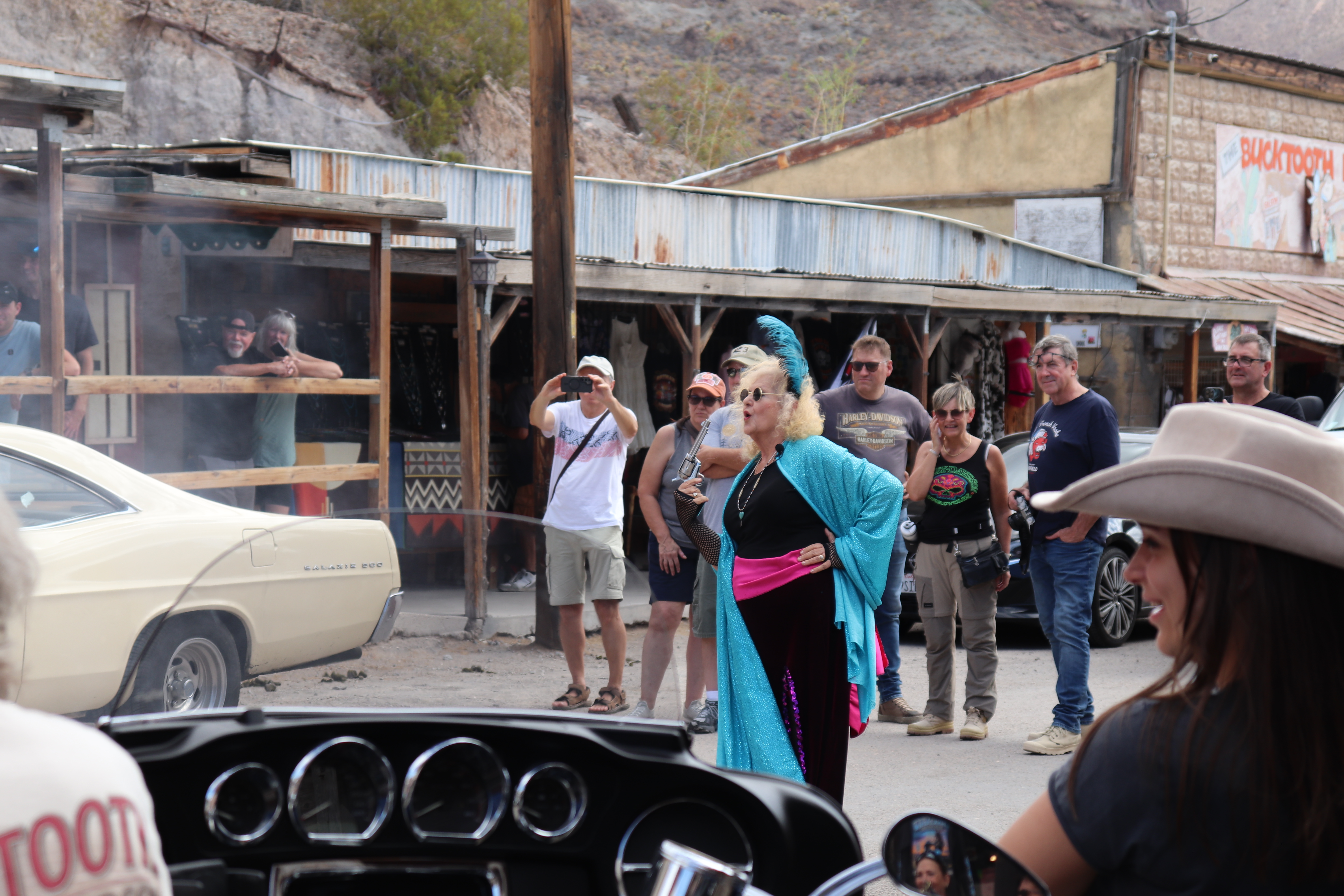
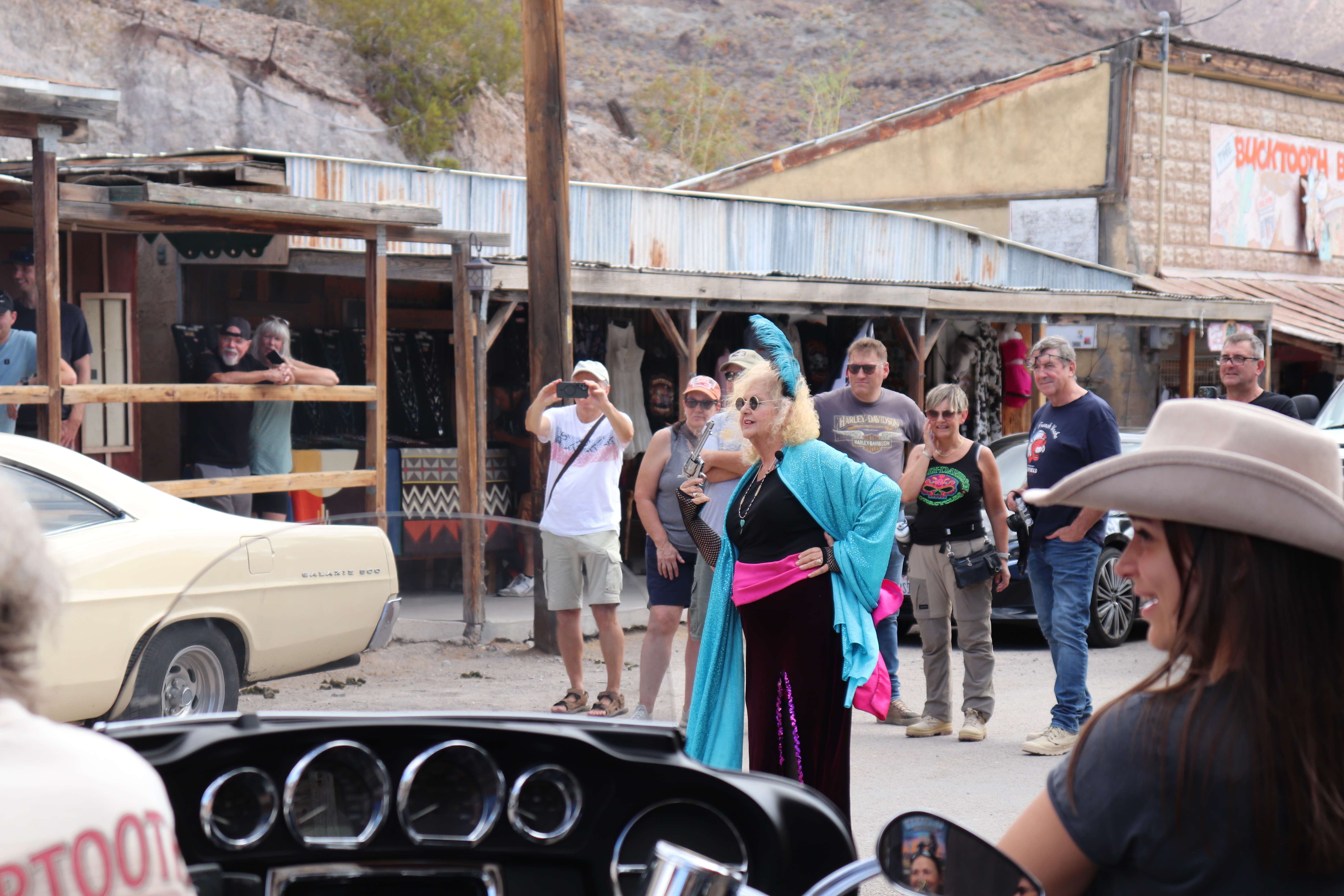
I arrive in town just in time for one of its twice-daily shootouts. Route 66 is the only road through town, so it closes for 10 to 15 minutes during the performance. The show is usually a showdown between an outlaw and the sheriff, but today the sheriff has to work. Instead, the outlaw faces a local showgirl. He robs the bank (actually the restaurant) planning to run off with her, but she decides she wants all the gold for herself and shoots him dead in the street. They use real blanks, so the gunshots are loud enough to stir up both the crowd and the burros.
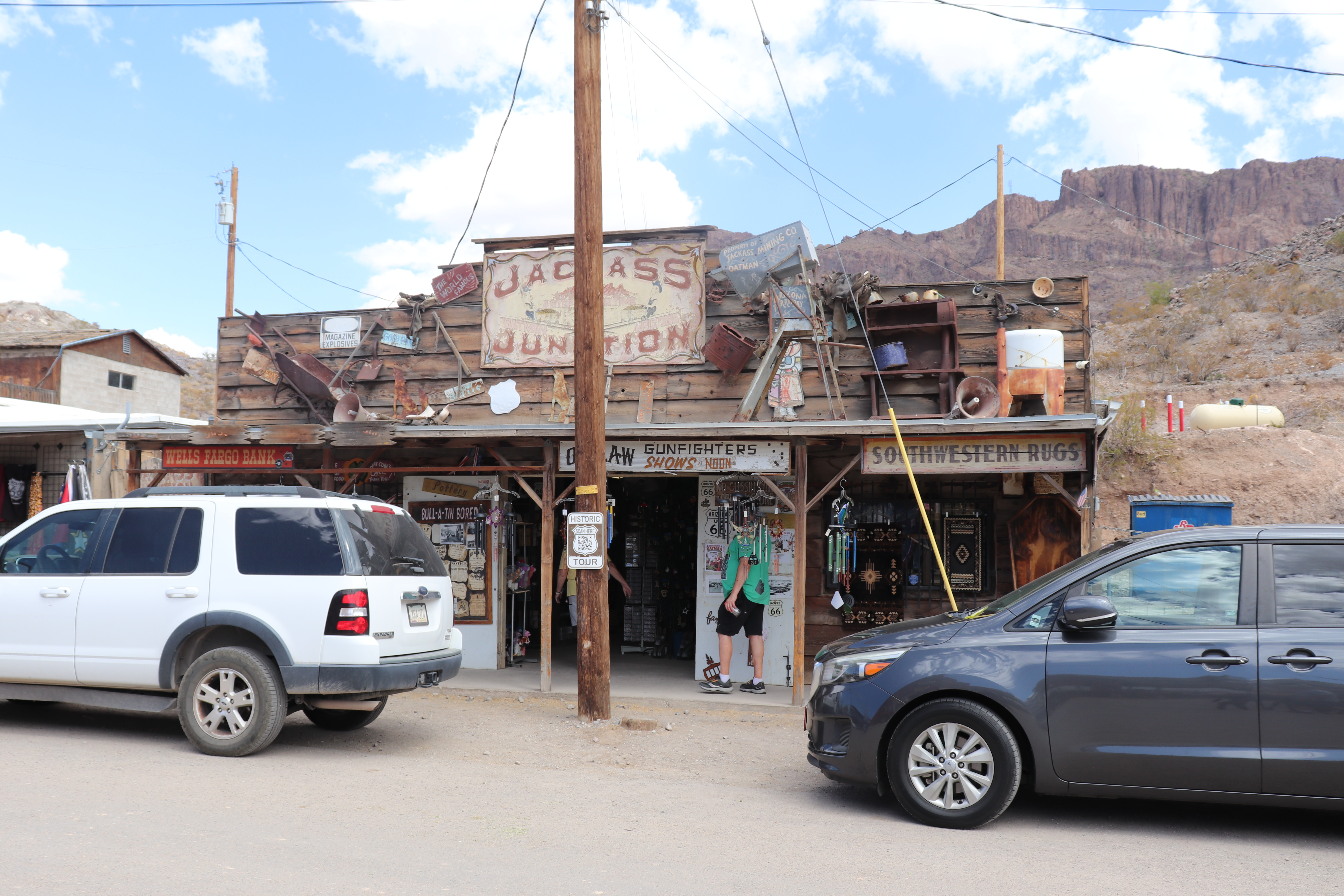
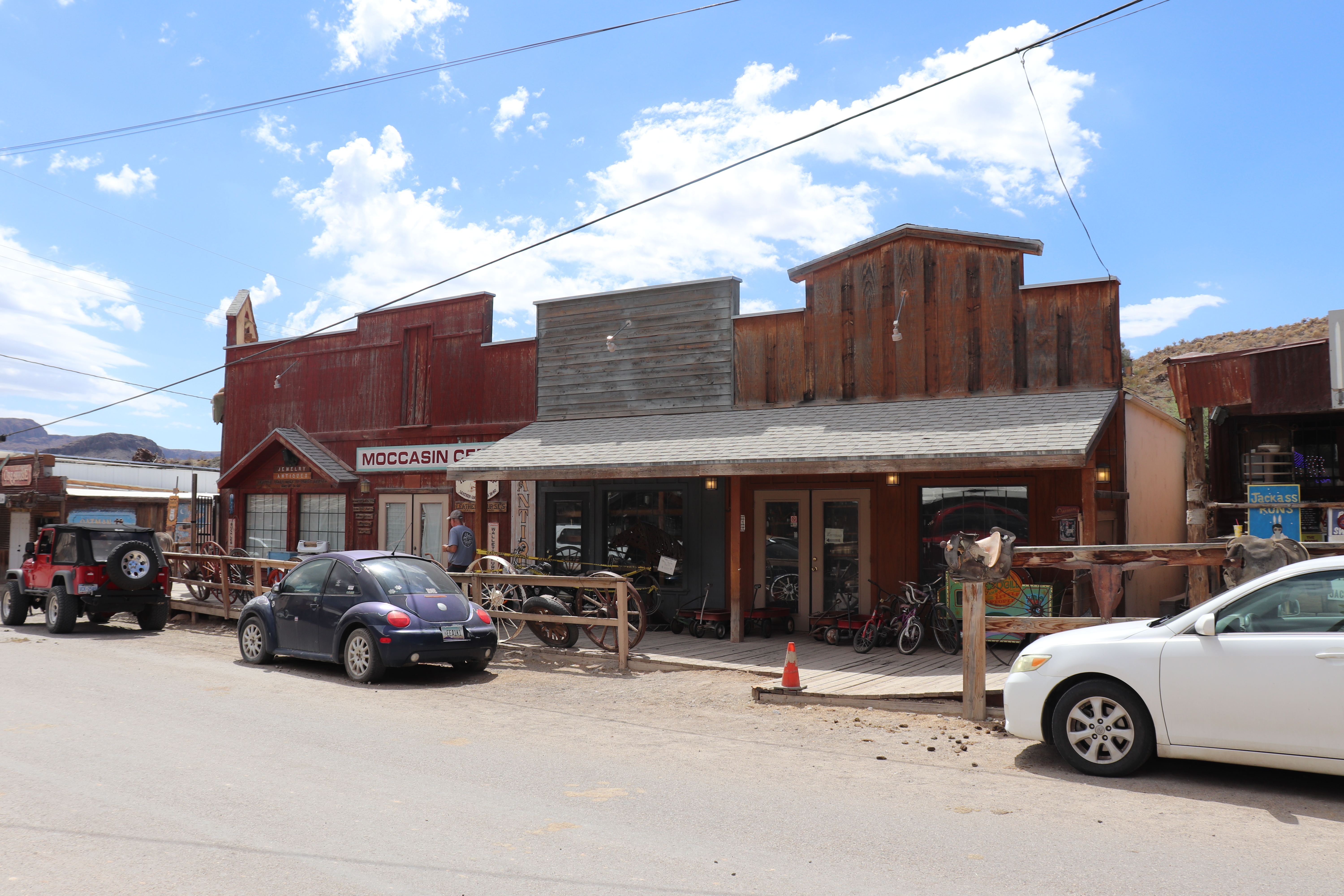
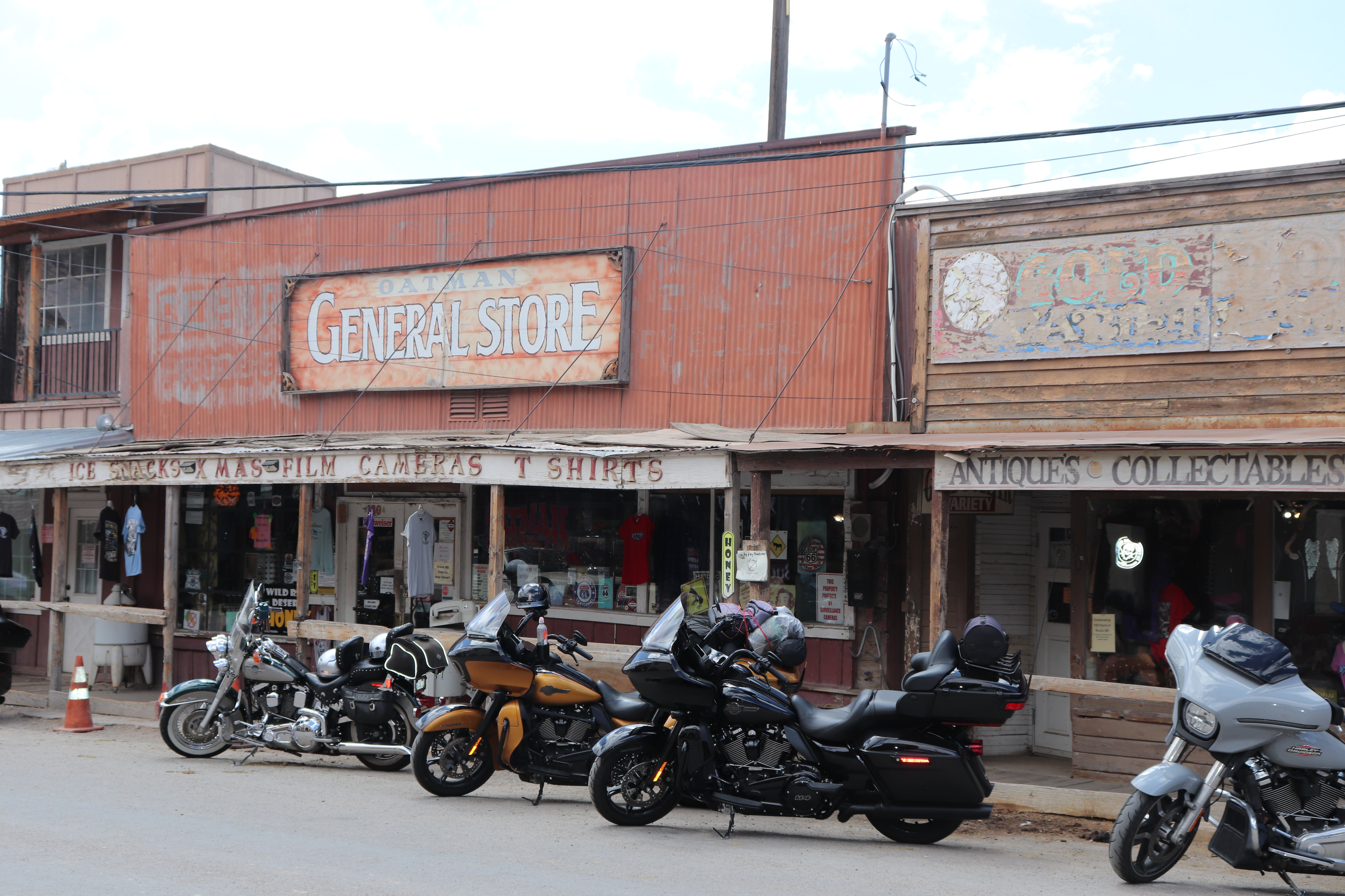
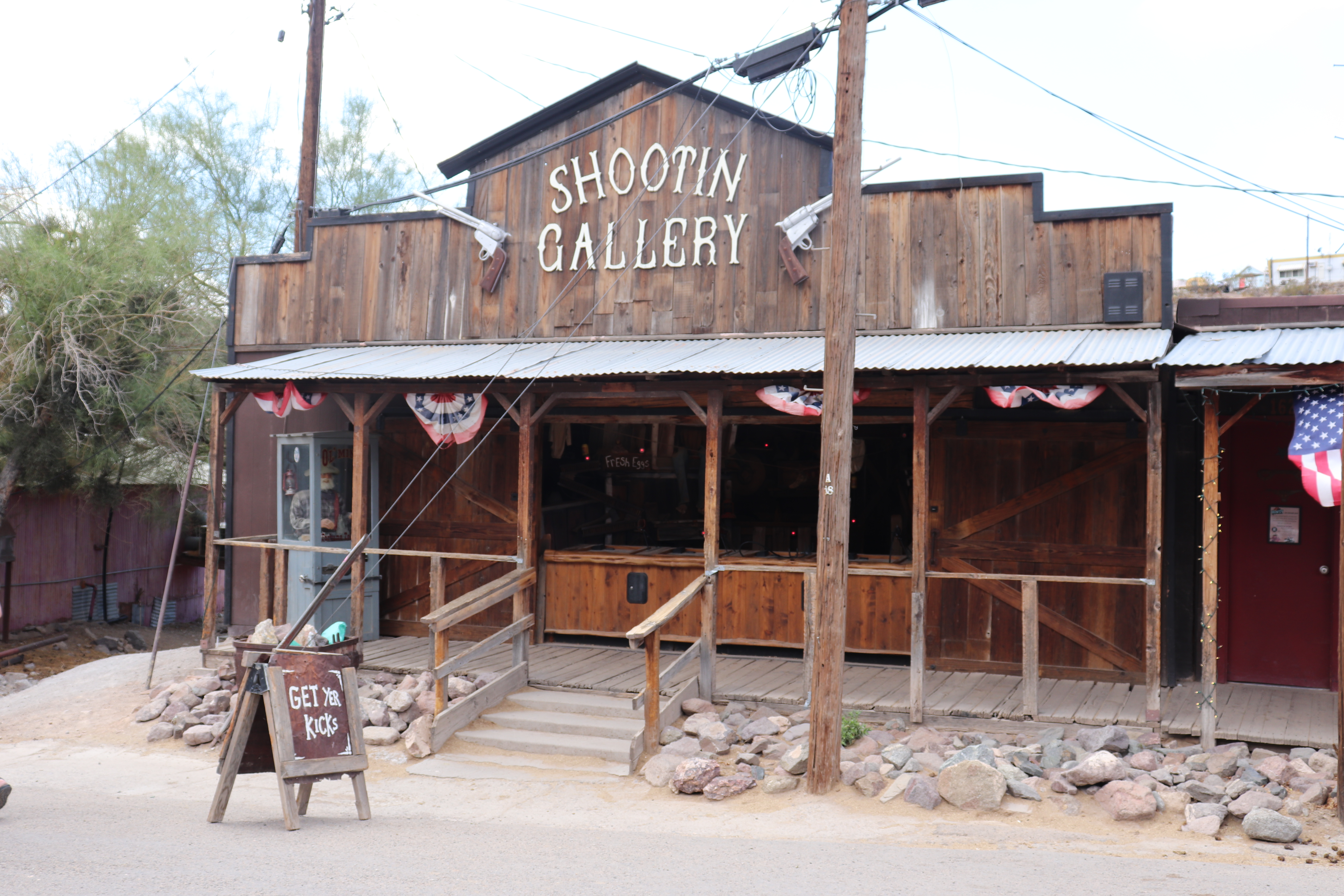
If not for the paved road and modern vehicles, Oatman would feel like an Old West town. The walkways are still wooden, and the buildings still have their western character. Most are gift shops, though there is also a restaurant and a couple of saloons. I stop in one for a beer, then head back out to continue the ride, but first I need to find a Sidewinder patch. I walk back through town, checking a few shops until I find one. They have the patch in several sizes, including one small enough for me. It’s another story to add to the canvas that is my vest.
Leaving Oatman, the road stays narrow as it winds through the lower mountain hills, with more slow curves and a few burros blocking the way. It eventually flattens out near Golden Shores. I stop at Blondie’s Bar & Grill for lunch, but it happens to be closed on Mondays. Hooch’s 66 Bar & Grill is just down the street, I think those are the only two places to eat in town. I order a burger with a single patty, cheddar cheese, BBQ sauce, and two large onion rings. It’s good.
Topock is only a couple of miles down the road, where Route 66 brings me back to I-40, the first time I’ve seen the interstate all day. I get onto the interstate right at the California state line, and enter the final state on Route 66. My destination is Barstow, and the terrain stays flat for the rest of the day’s ride. About 50 miles out, I stop to fill up again. Premium gas is $8 a gallon, and for the first time I can remember, it costs more than $30 to fill the tank. I’m not sure whether that’s because I’m in California, out in the middle of nowhere, or both.
The wind has died down but I find myself spending most of the ride in the left lane. The right lane of the highway is in worse shape than any part of the route is was on today. Bartow is my final destination for today. Camp is just a few miles outside of town. Dinner is at DiNapoli’s Firehouse, a firehouse themed Italian restaurant. Dinner is the chicken marsala and is very tasty. After dinner I stop off to pick up some beer and ice. A twelve pack costs me $30 at a nearby gas station. The cost of stuff out here is insane.
Tomorrow I head into Los Angeles. I’m not really looking forward to it. Of all the big cities I could ride through, L.A. is probably the top of my list of “Don’t wanna do it”. But to be honest I am a little excited too. The signage for Route 66 has been pretty good so far, better than I was expecting, and if it continues through L.A. I will get to ride down Sunset Boulevard, through Hollywood and Beverly Hills. I don’t know what stops I’ll make, if any, but I should be looking out over the Pacific Ocean at some point tomorrow.