Day three kicks off with another beautiful, clear sky. It’s much cooler this morning though. I wake around 8:00 and begin packing up. As I load my bag back on the bike, my cousin and his wife come out and we spend a fair amount of time talking before it’s finally time to head out.
It’s almost chilly once I get on the road, but I never feel the need to pull out my jacket. The interstate is about ten miles away and the road leading to it is all farm roads running through cornfields. The corn is so close to the road that I can almost reach out and touch it. Some of these roads are gravel so they are slow going. It doesn’t take long to reach I-57 though. The interstate allows me to move quickly, which is good since I’m 200 miles from Chicago. But I soon learn that the troopers are out in force today. They pop up every few miles slowing most of us down.
My first gas stop is in Champaign. After filling up I park the bike at the end of the lot and head in to grab some water. When I come back out, a trooper has pulled up next to me. Plenty of other spots closer to the door, but he parked right next to me. I was worried he may have got me on something but just coincidence. We ended up chatting for a few minutes. With a loaded up bike it’s obvious I’m travelling and he asked where I was headed. I told him Chicago and how uncomfortable I was feeling about being in the heart of such a big city. His response was not comforting in any way. I told me that Chicagoans are crazy drivers and to be extremely vigilant, even police squad cars will fly past you without warning. I learned that he too was a rider and worked with the state’s motorcycle squad. We bid each other farewell and I was back on my way.
The distance between highway exits shortens as I near Chicago. It changes from several miles to just a few miles. The road widens to four lanes and traffic increases. Cars begin zipping back and forth between lanes long before the city skyline comes into view. This is the kind of traffic that raises my anxiety levels. The towers of Chi-Town are finally visible and grow clearer and clearer as I get closer. When I finally leave the highway traffic actually calms down, it’s still crazy busy, but most people are fairly calm. Once I’m really in town I get a close up view of Lake Michigan. There’s a ton of activity as people are enjoying the beautiful day. There’s a steady stream of bicyclists on the path near me, some are actively exercising and some are clearly tourists.
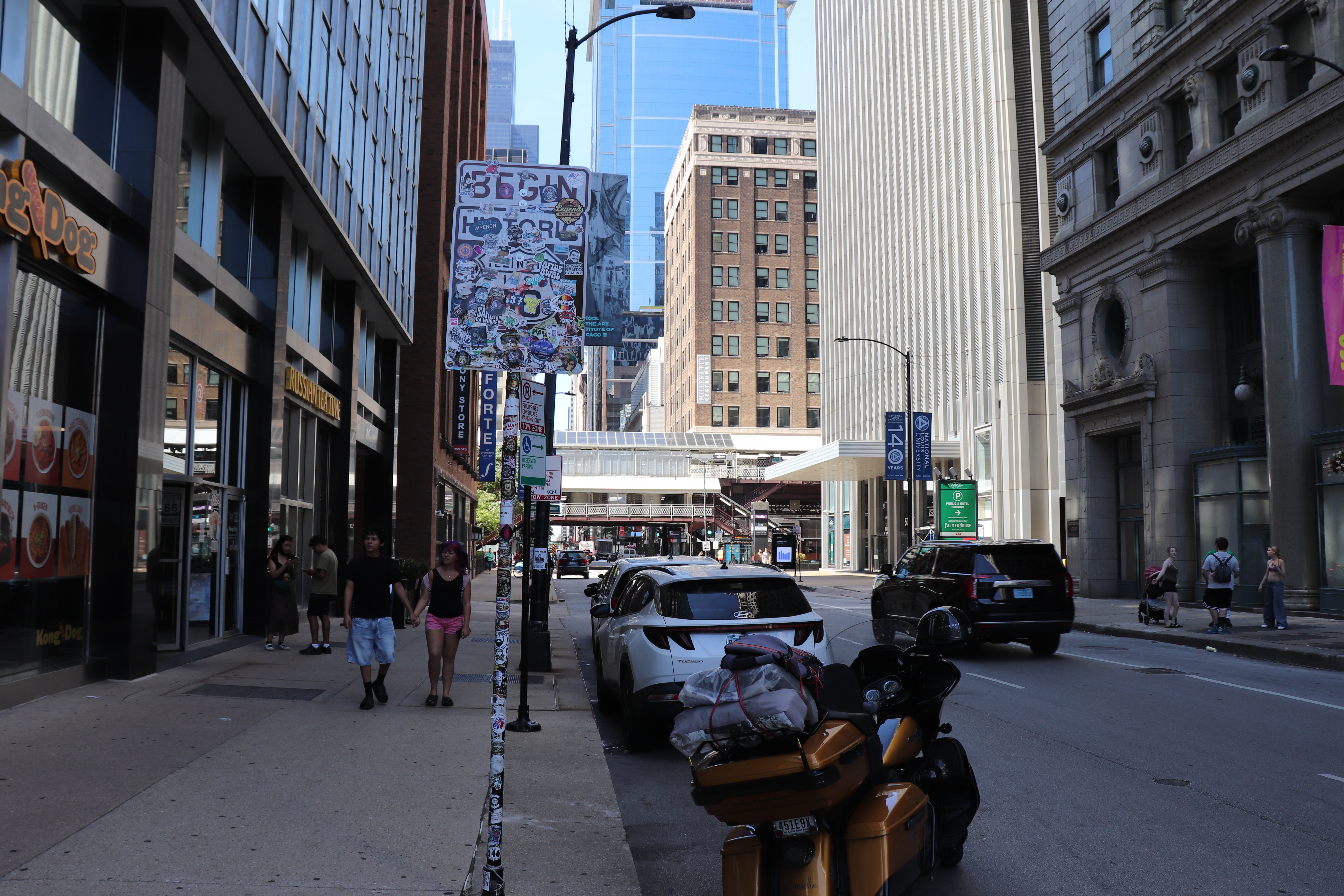
I finally make it to the Art Institute of Chicago, there’s people everywhere. I need to turn left to get to the most important place, the sign marking the official start of Route 66. But I can only turn right here. I make my way around the block bringing me under the L-trains. It’s something we’ve all seen in movies but riding under them is an experience I won’t soon forget. I finally get back to where I need to be and am already feeling like giving up on getting any photos. It’s been discussed that parking in a garage or paid lot is probably not the best idea. Not only would I have to worry about the bike being stolen but my bag and camping gear would be a target. Being able to pull off and snap a quick photo would be ideal, but it doesn’t look like that is going to be possible. I see the sign, and turn onto Route 66. There’s a second Route 66 sign just off to my right as I turn onto the road, but I’m in the wrong lane. I have to make another run around the block and hope the spot is still open. I make it back around and the spot is indeed still open. It’s a reserved spot for handicapped and some organization I’ve never heard of. I’ll only be a couple of minutes at most so back the bike in and pull out my camera. I get photos of both signs. The one I really want is the historical brown color. The other is nearly unrecognizable as it is covered in stickers.
Back on the bike in moments and I’m headed out of town as fast as I can. The street runs right through downtown and next to the tallest building in the city, Willis Tower. When I finally make it to Ogden Avenue the city is gone. From here it’s suburb towns that run into each other. I make my way into Indian Head Park and stop for lunch at Wolf’s Head Restaurant. Lunch was their Swiss Pretzel Burger. Descent but not great, I only get about half of it down. I’m also a bit road weary so I’m hungry but easily filled.
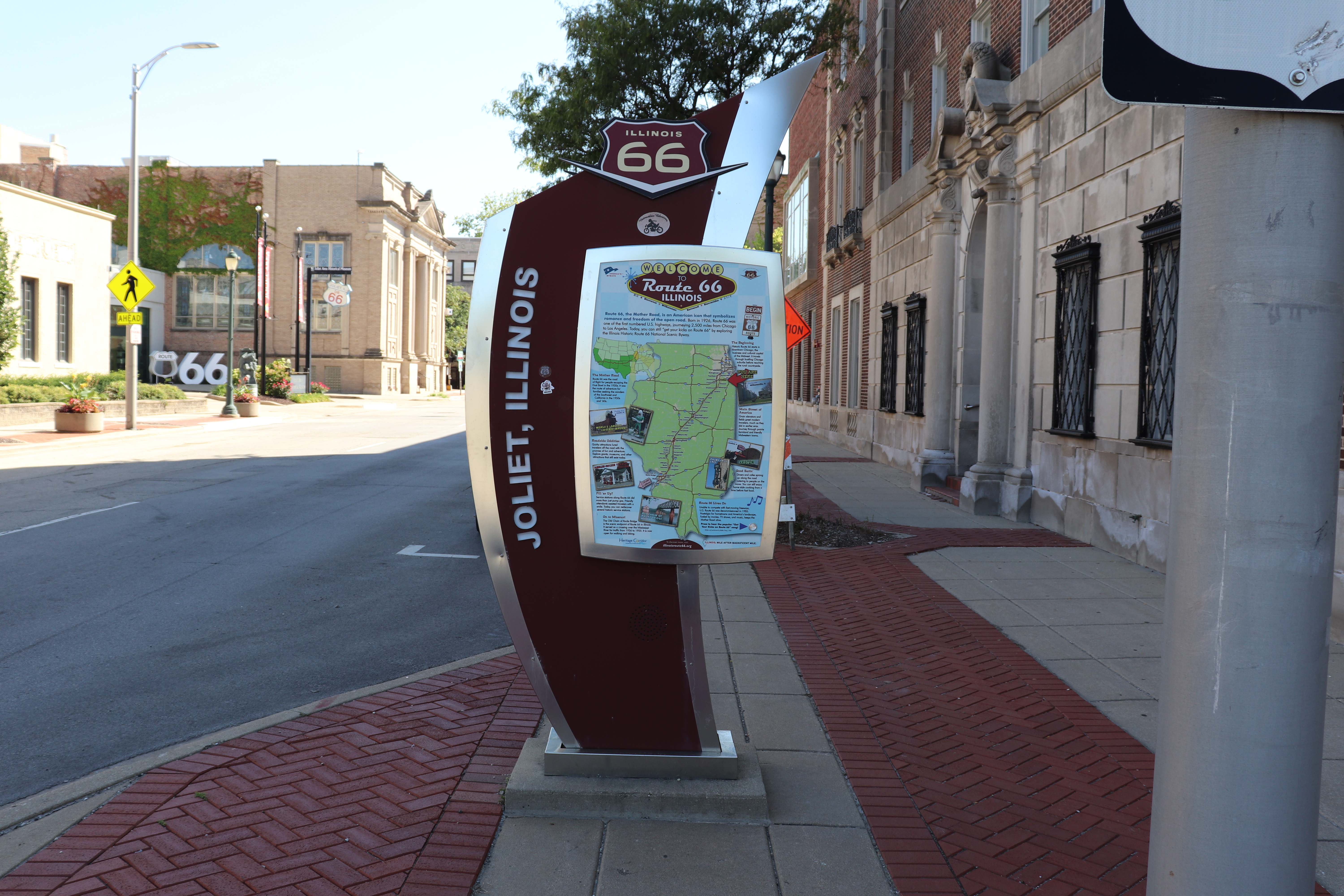
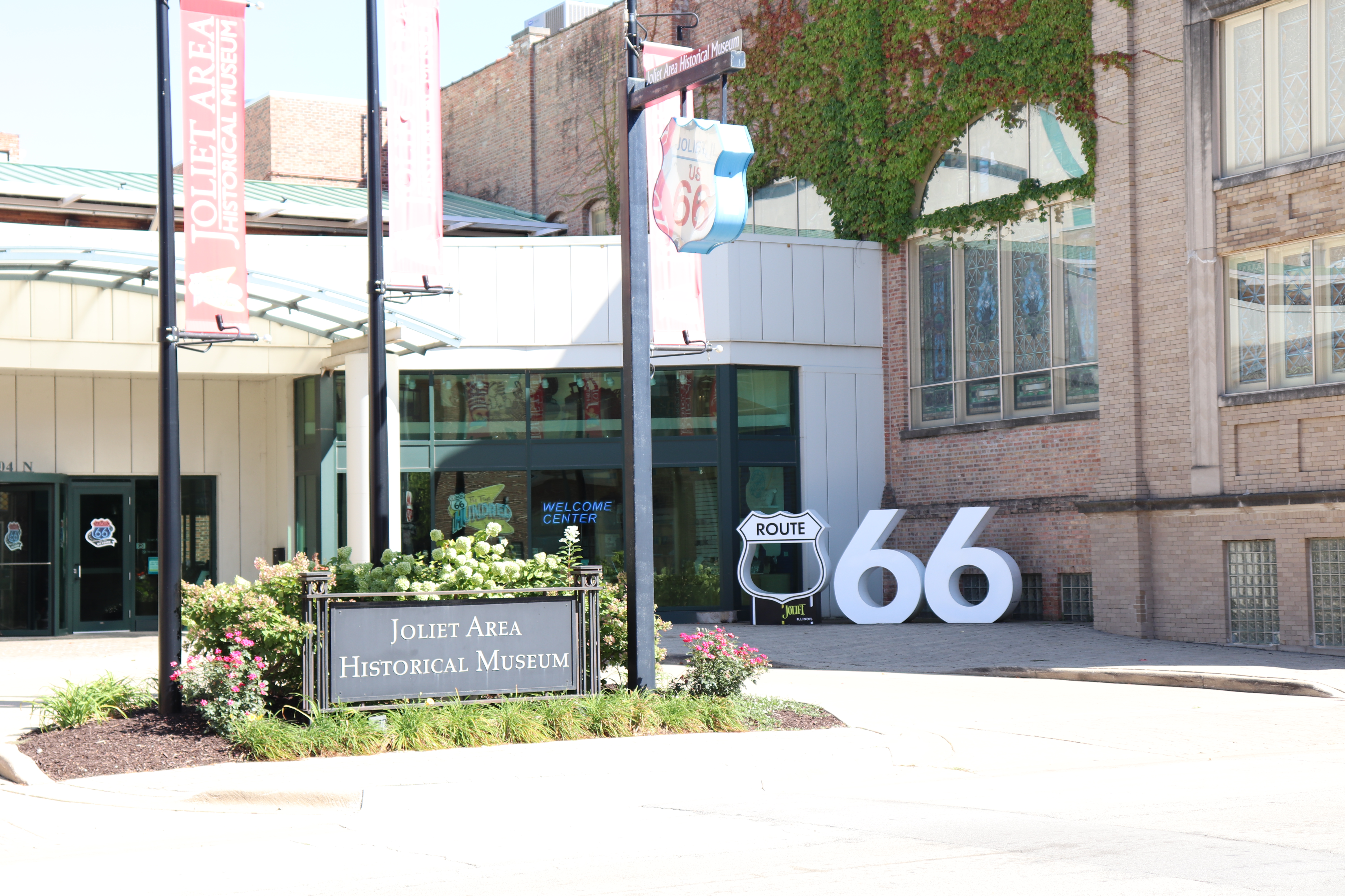
From lunch I head back out and 66 soon turns into I-55 for a few miles. The towns continue to blend into each other until I reach Romeoville. Here the city landscape gives way to green fields of wild grass. I soon make it to Joliet, home to the Old Joliet Prison, which was home to Jake Blues in the Blues Brothers movie. I didn’t get to see it though, the prison I mean, I’ve seen the movie several times. Joliet looks like a great little city and I’m able to get a couple photos.
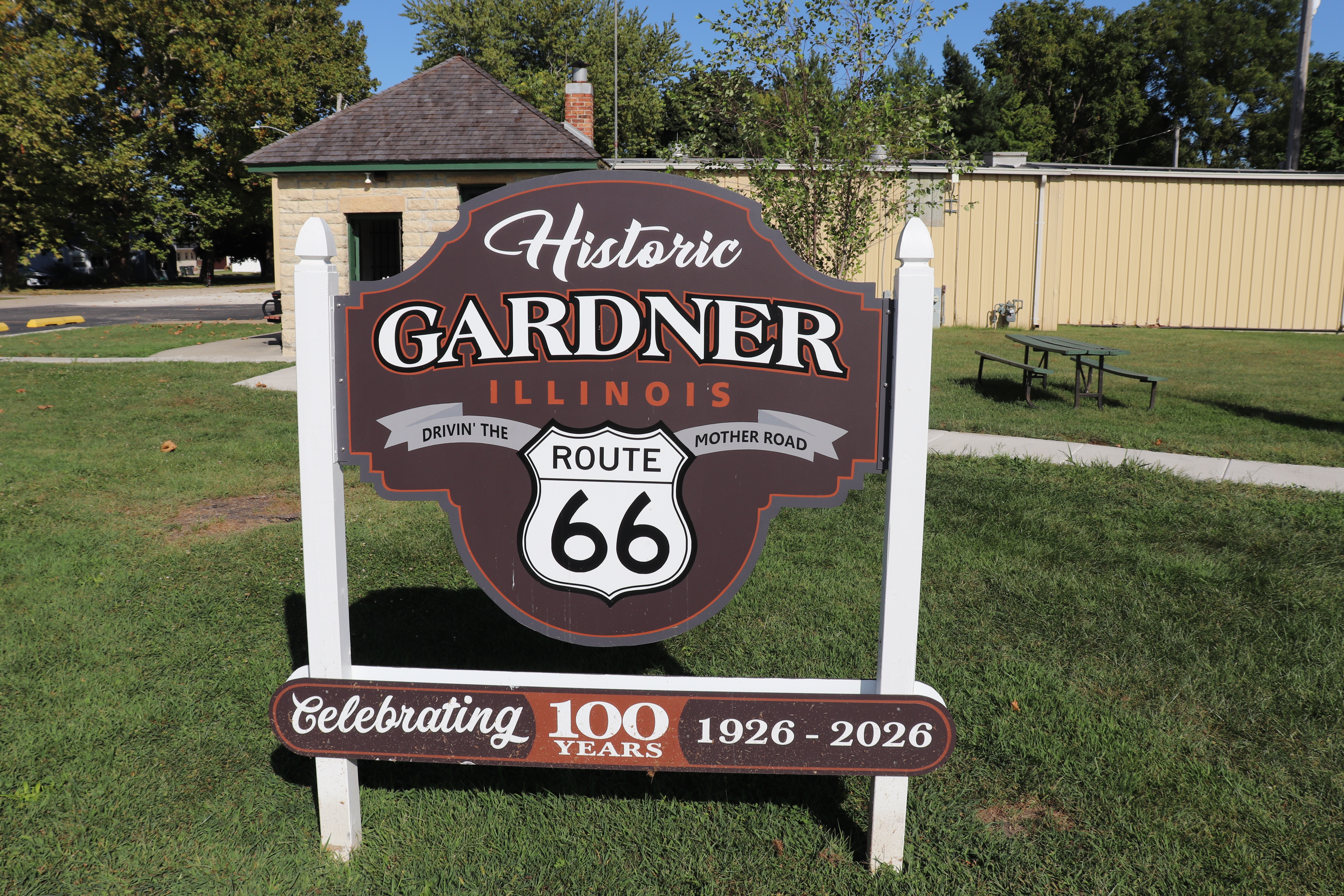
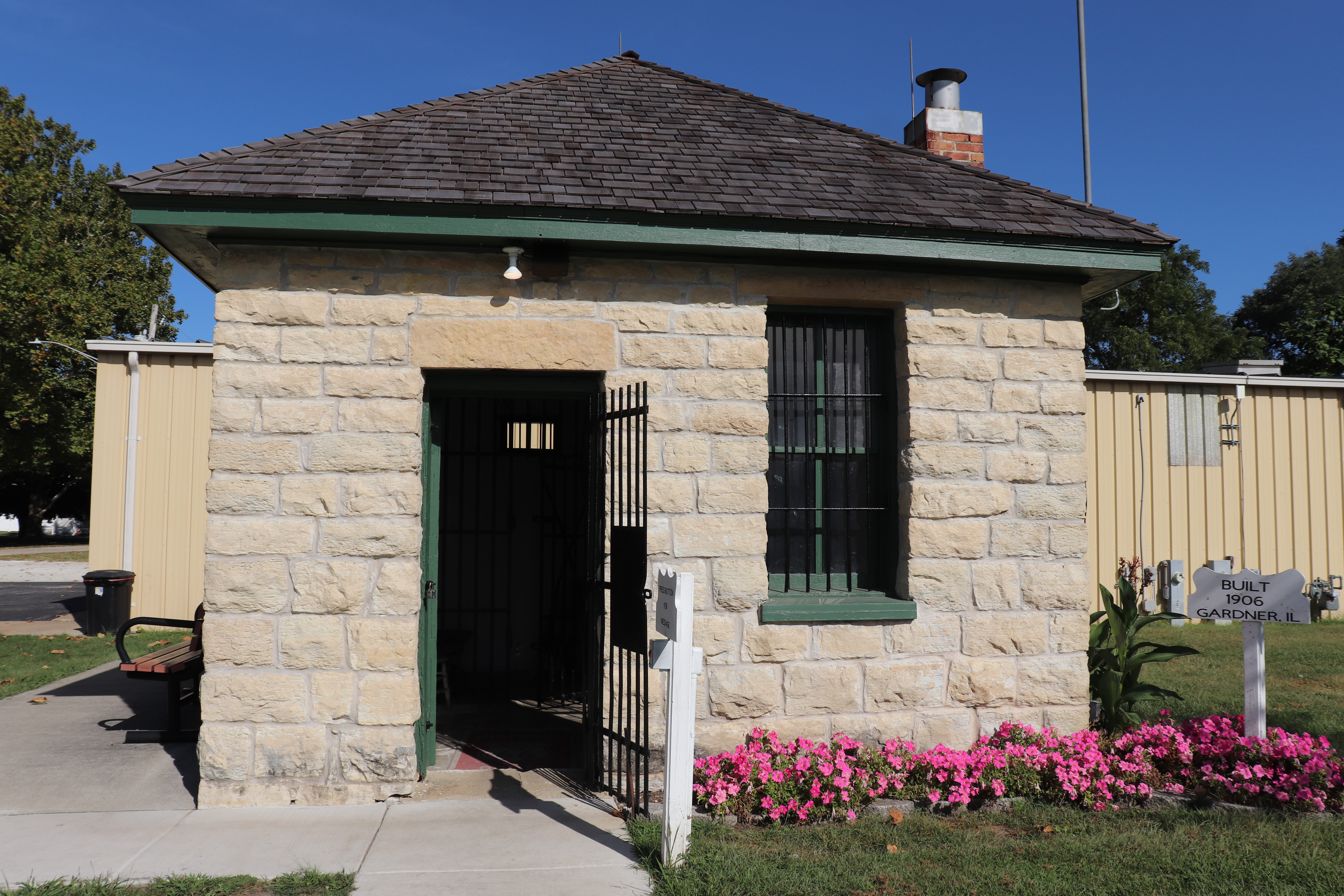
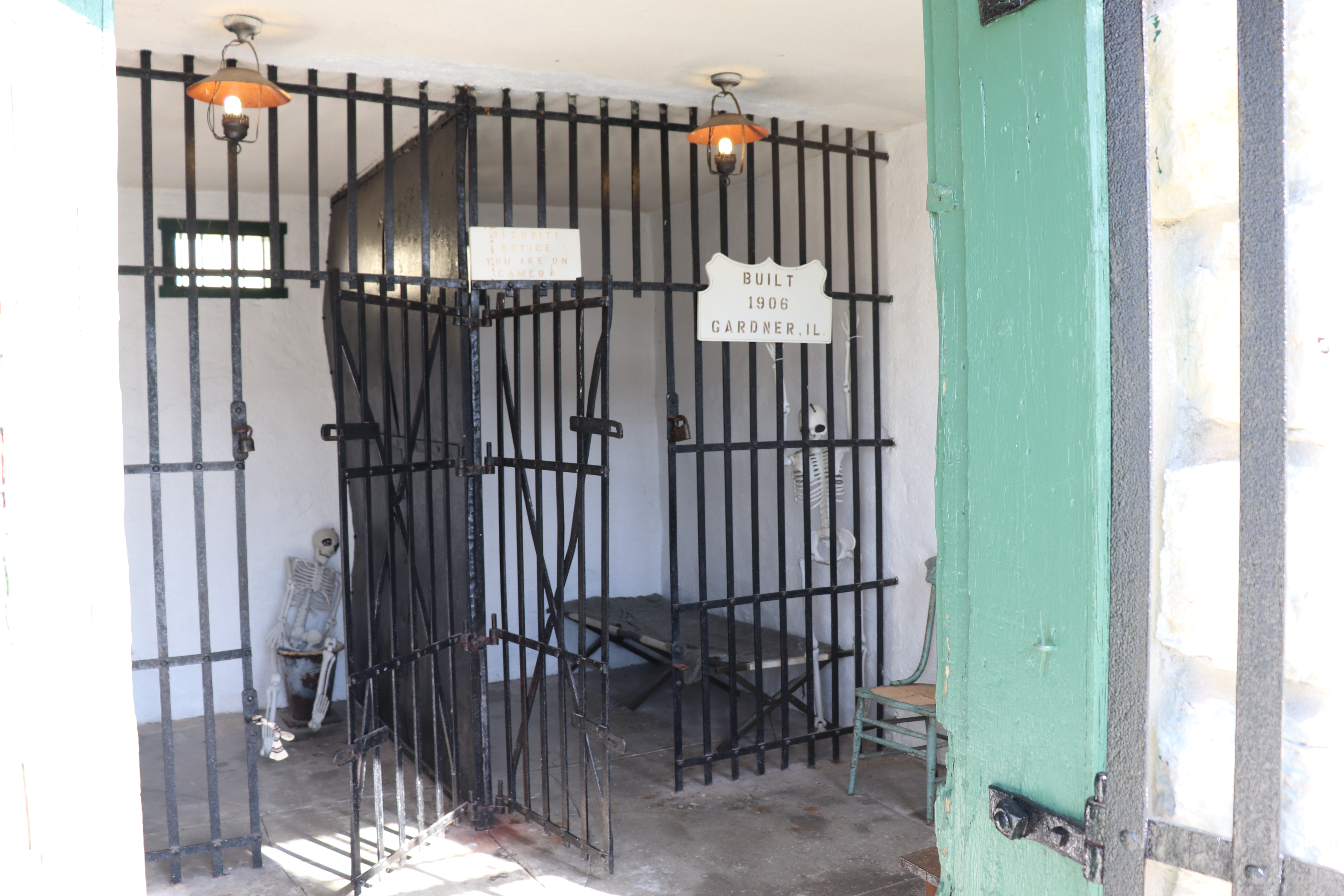
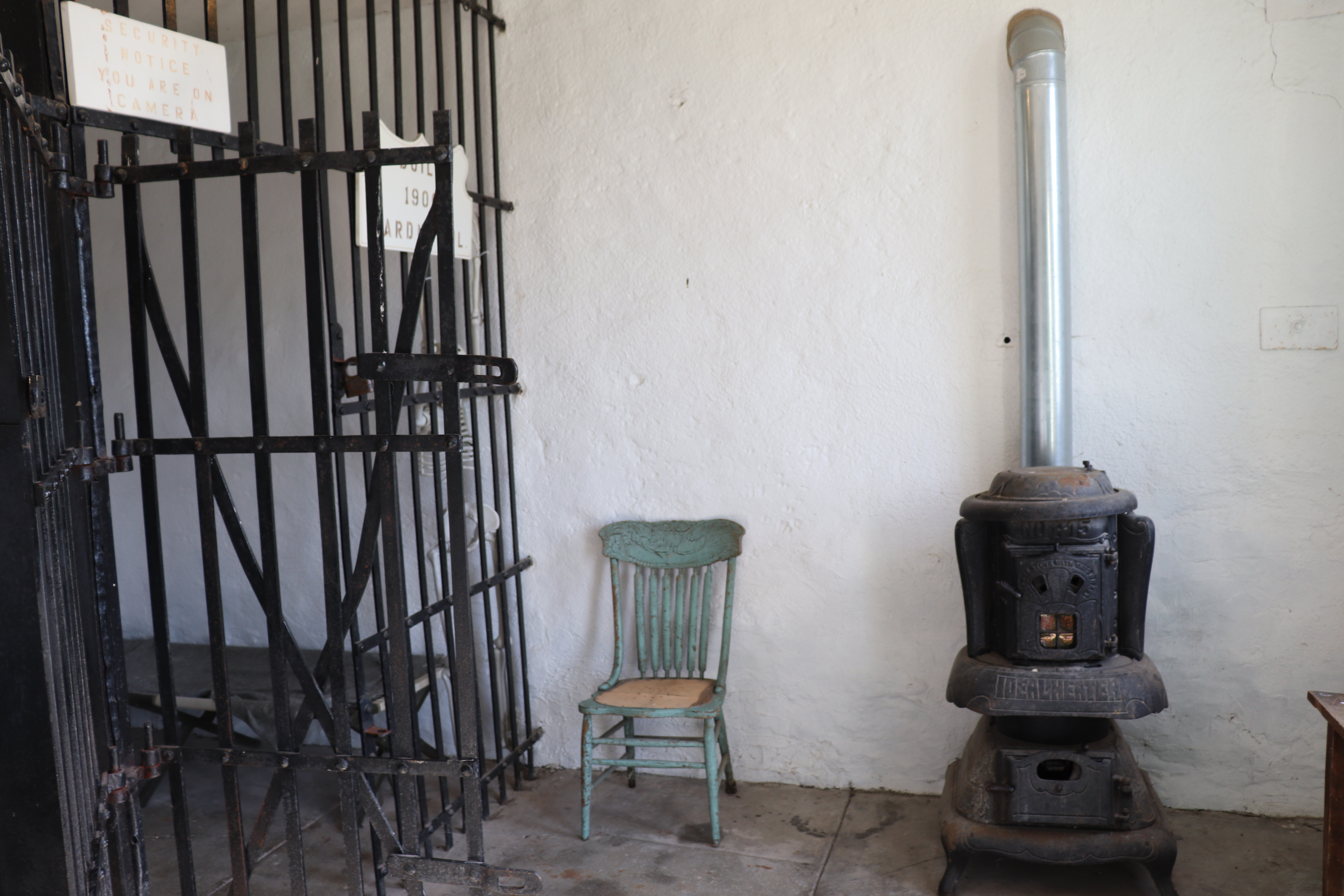
I reach Gardner find the two cell jail there. This was an actual jail built in 1906 and mostly used to get hobos and drunks off the streets for a night. There’s also The Shop which is a Route 66 gift shop. Happens to be closed but what can I do? I did meet a couple who flew in from Portland to Chicago and are making the run as well. They were able to help me find a good landing place for tonight.
The next town after Gardner is Dwight, and from there I should head southwest into Odell. But, I make a wrong turn and head due south. Something tells me to turn around but I ignore it. I’m off of Route 66 for several miles. I only miss the town of Odell, but still, I’ve already messed up my goal on day one. To be fair though, I have been off of GPS since Chicago. I’ve been following street signs this whole time.
I finally get to Pontiac, Illinois. In riding today I have realized I didn’t make many stops. There didn’t seem to be many places to stop and get a photo or learn something. I was fully intent on finding a place to camp tonight but decided I needed to get a room so that I could actually stay on track but still know when to stop. That’s hard to do on a bike with no navigator. I could have done this from a campground picnic table, sure, but it proved fruitful. I happened to run into a guy who is part of a group of four cars also running from Chicago to Santa Monica. They have put together some Google Maps itineraries that include stops for iconic locations, and he emailed them to me. So tomorrow, maybe a better day with more stops.
I’m in Pontiac tonight. Dinner is across the street at a place called End Zone Bar and Grill. It’s a typical menu but I’m not really hungry, just know I need food. I get a quesadilla and eat what I can before retiring back to my room. Tomorrow will be a new day. I only did about 300 miles today. The first 200 was done by noon. I got off the road around 5:00. Granted, I spent a lot of time in 30-40mph zones and nothing topped 55mph, but still, five hours for 100 miles? I’m concerned about timing but think the city and suburbs ate up a lot of that time. I think I’ll be good from here.
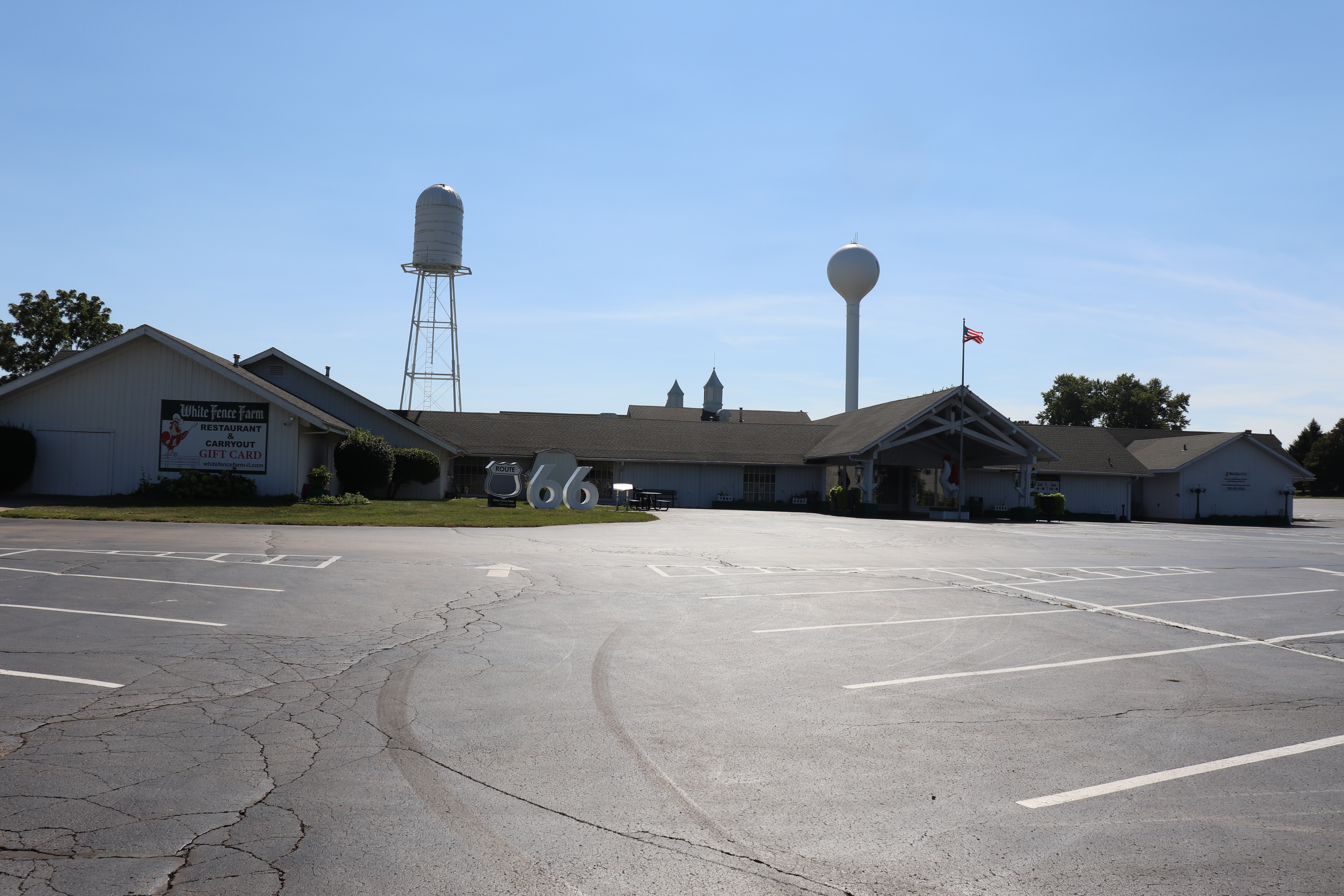
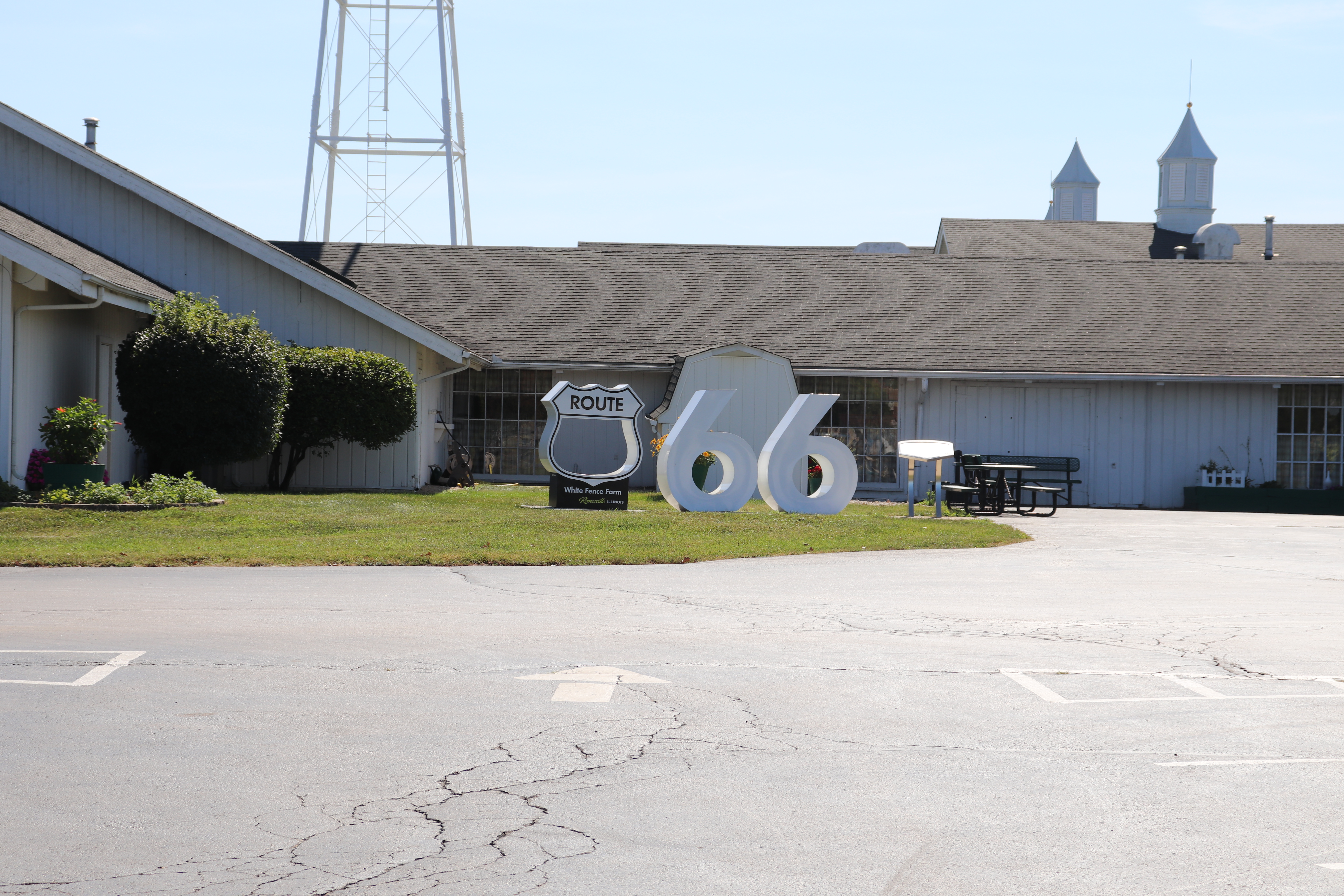
Below are photos I did capture from today. I hope to have many more tomorrow and the days that follow.
 The Motorcycle Diaries of an Easy Rider
thanks for sharing the photos and I am surprised to find out that route 66 started in Joliet Illinois. I’ve lived there for six months when I was in the first grade and had no idea. Wow happy roads
LikeLike
love the pictures of the mail! And the skeletons!!!
LikeLike