I woke to a beautiful Texas sunrise this morning. This new tent allowed me to actually stand up to put my pants on which is far better than trying to wiggle them on while lying down. I’m happy with the upgrade. My first mission for the day is a shower. The Amarillo KOA has a spacious shower with an actual door so it’s easy to get dressed once you’re done. After my shower I brew my coffee, cook up some eggs for a small breakfast and tear down camp.
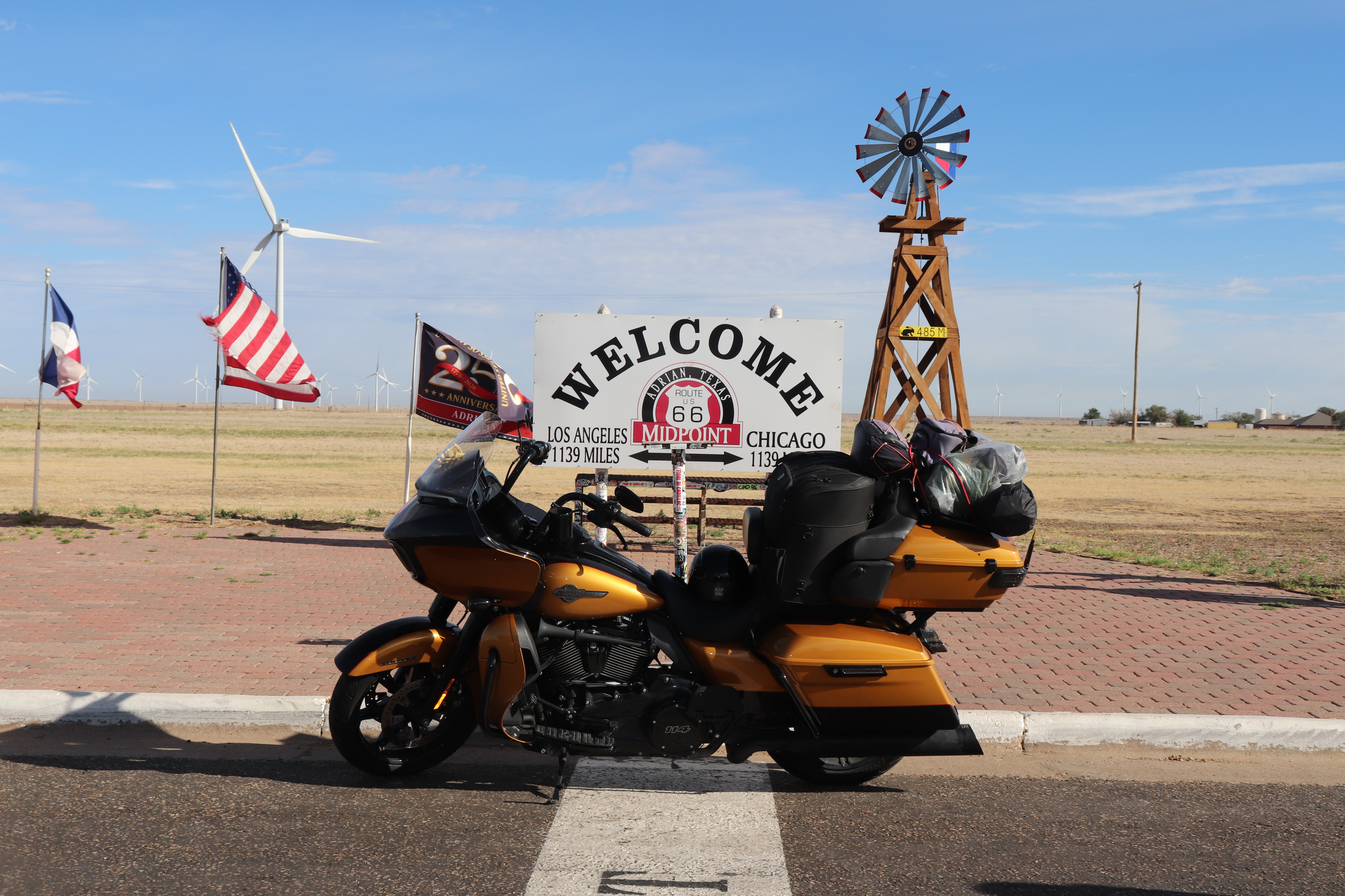
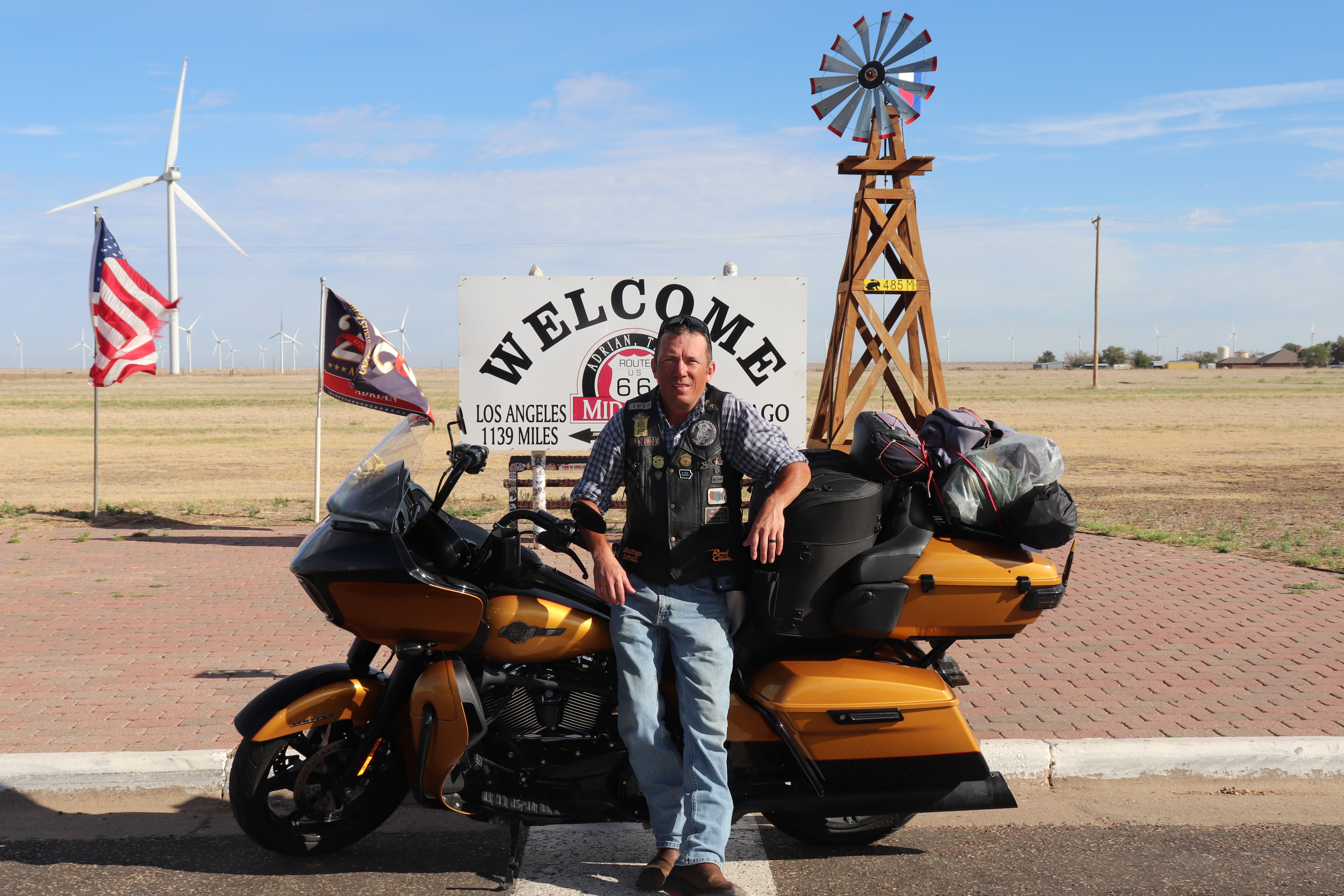
I head west out of Amarillo past both the VW Beetle Ranch and Cadillac Ranch. The stockyards can be smelled long before they come into view. When I finally pass by there’s several hundred head of cattle, there always is when I pass by here. My first stop is about 60 miles away and is in Adrian, Texas. It’s the Route 66 midpoint. From this spot Chicago and LA are both 1,139 miles away. I meet several people here.
The first is a gentleman waiting on his wife who is currently perusing the gift shop. I get a photo of the Laurelin in front of the sign and he offers to take one of me and the bike, which I accept as I am rarely in any of my photos. Next is a very young newlywed couple who I offer to take a photo for. Then I meet a pair of young German men who are very much into getting content. The one I talk to speaks very good English. The flew into San Francisco and are driving all the way to Miami, then taking a train to Washington D.C., it’ll be a great trip for sure. The original gentleman’s wife finally appears and a take a photo for them both. I then meet a foursome from New Zealand, I snap a photo for them. I get to talking to the German kid again when the German bikers arrive. The talk to each other for a few moments and I understand none of it. After that I meet, no I’m kidding, that was it.
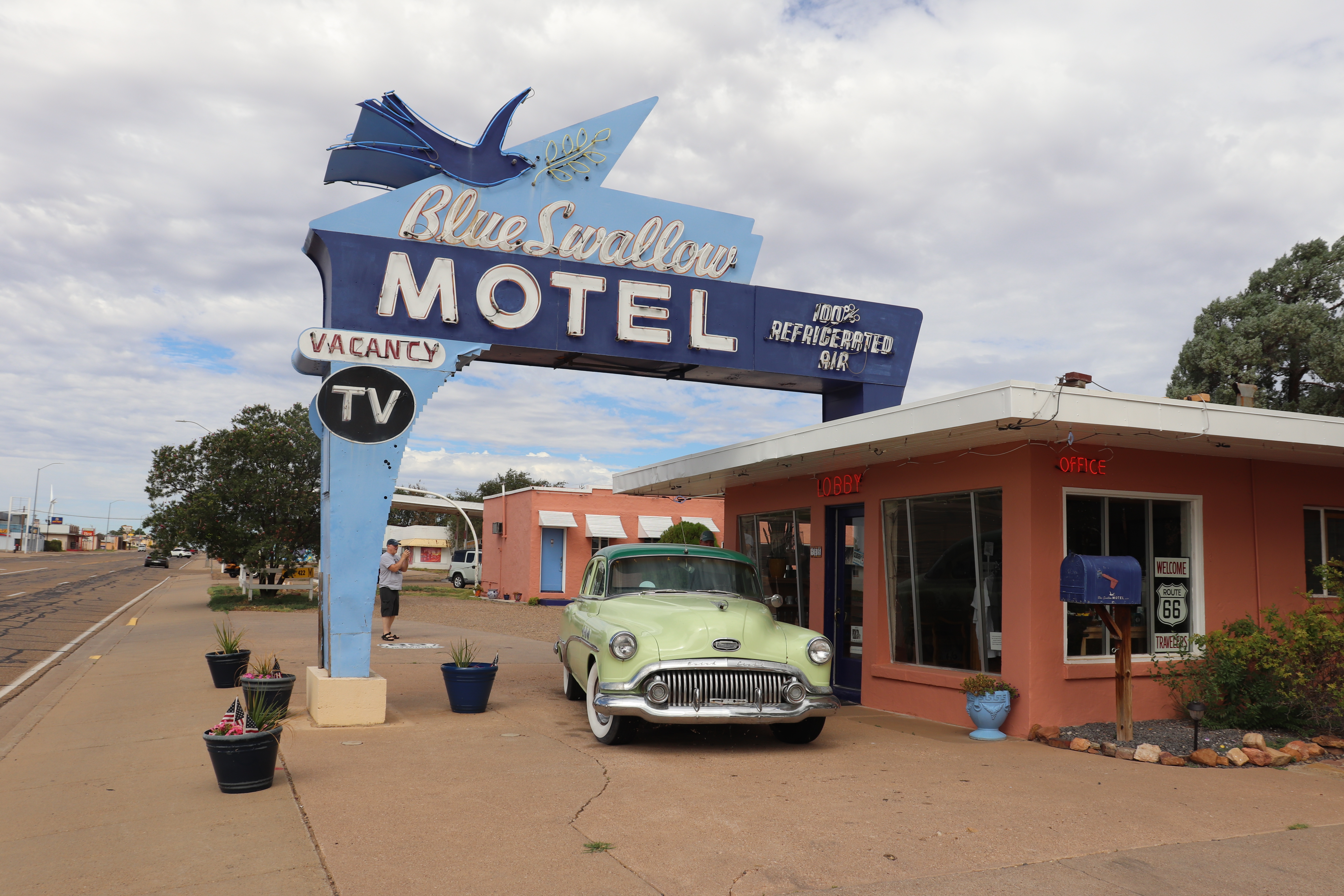
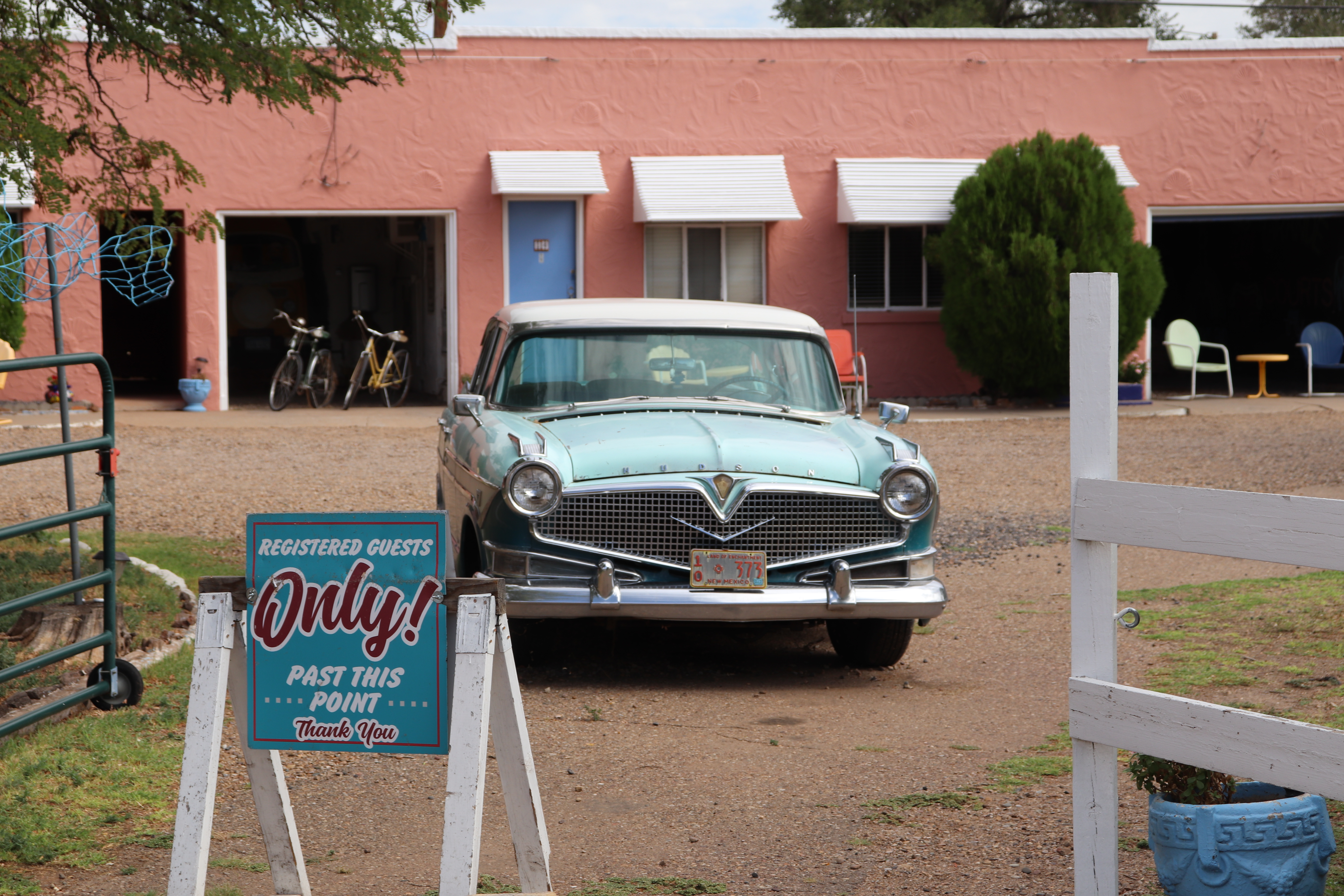
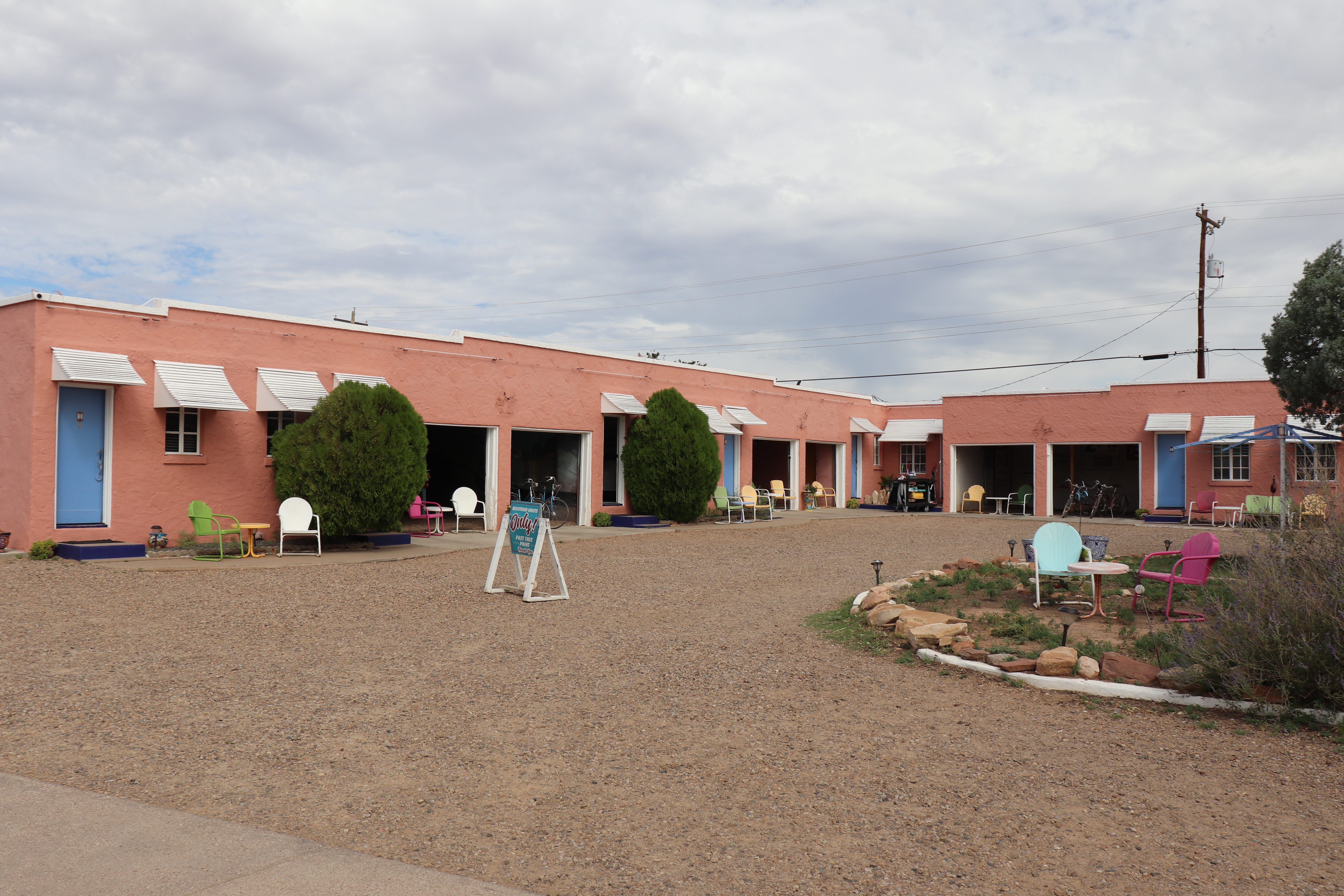
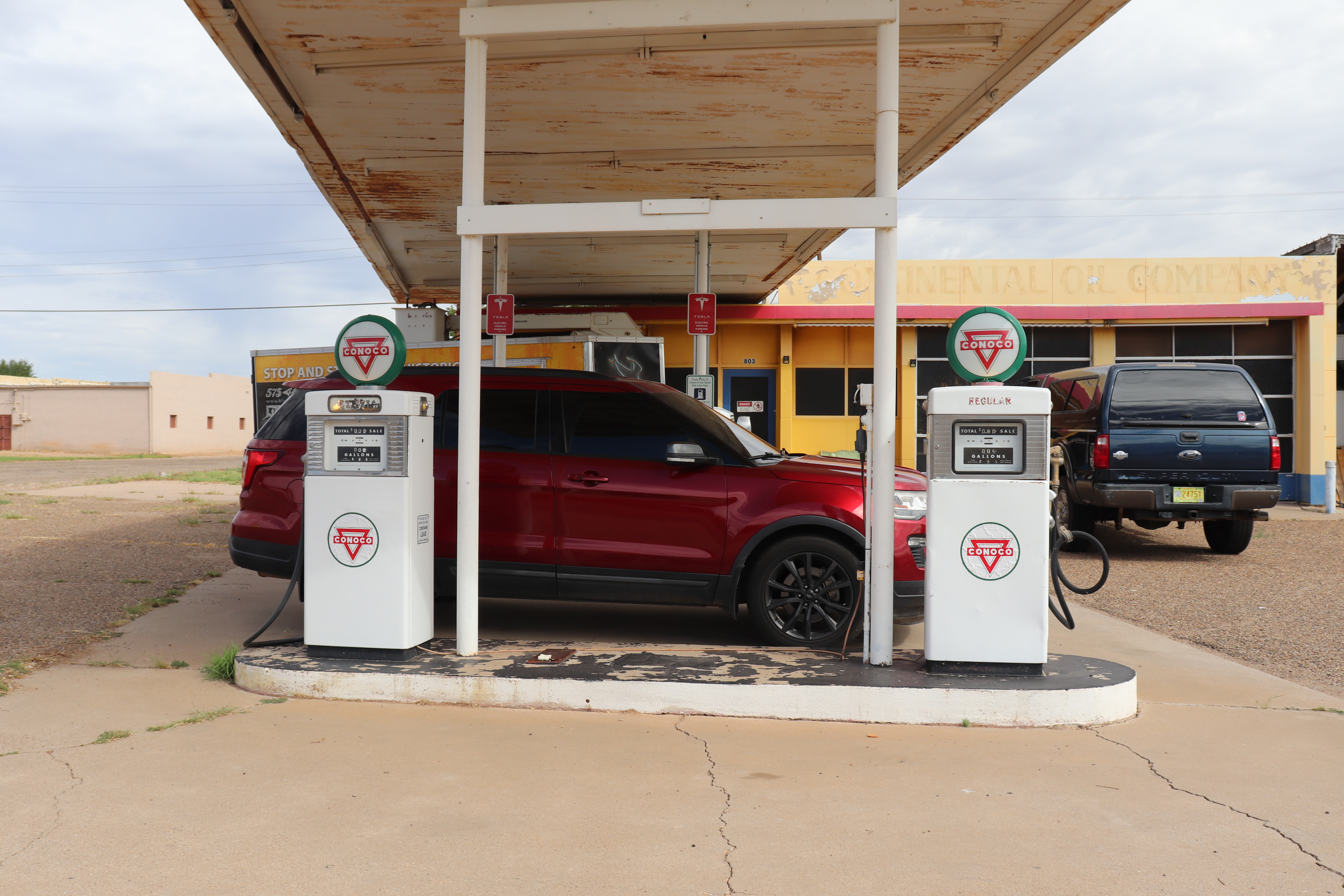
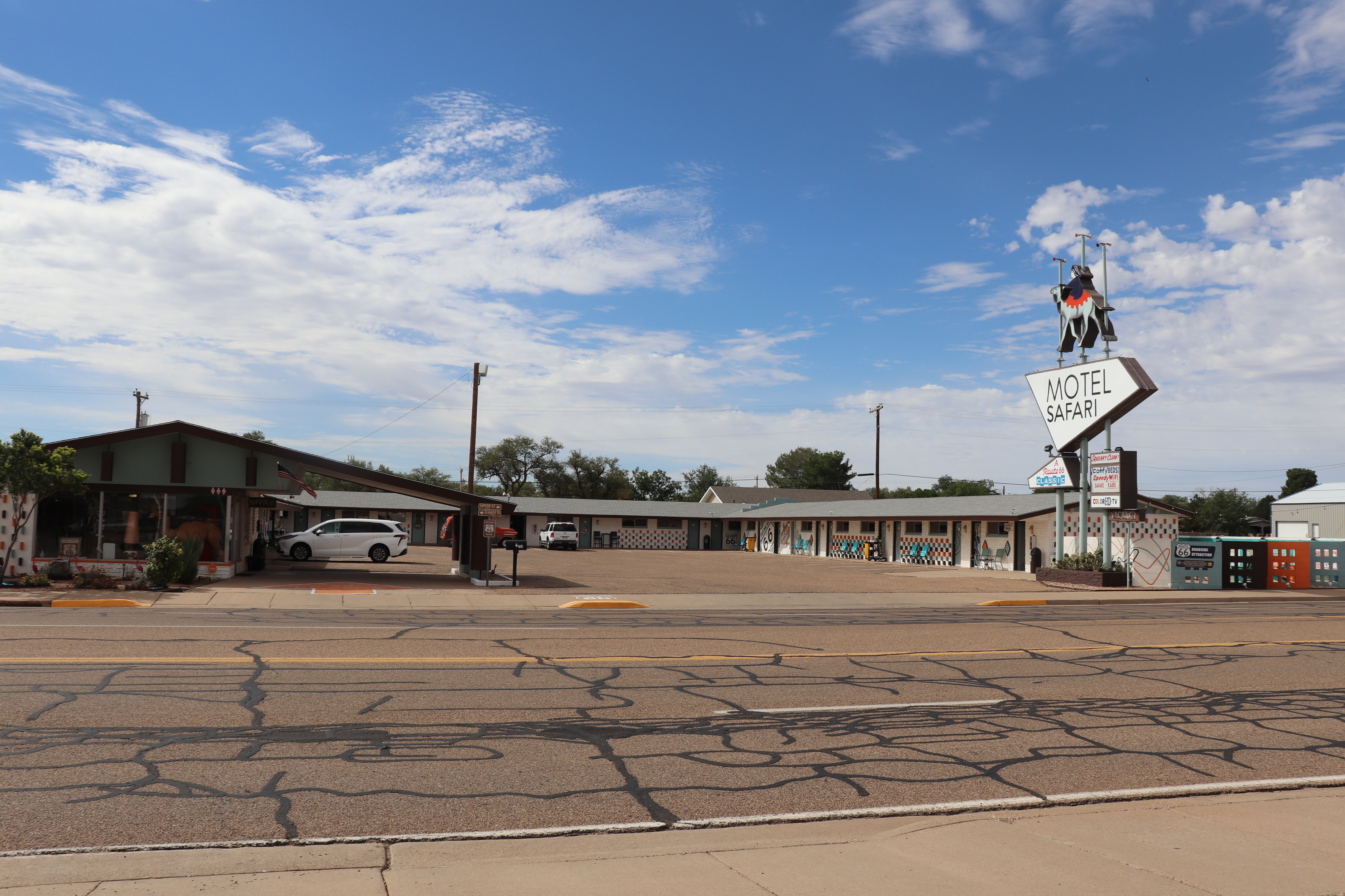
The New Mexico state line is a little more than 20 miles away and is the first time zone change. Crossing the border means my clock rolls back an hour, I am now in Mountain Time. Tucumcari is the next stop I want to make. It’s the Blue Swallow Motel which has been in operation since 1939. It has attached garages on the rooms and the rooms have working rotary phones in them. Their rates though are about as much as a decent hotel. Just across the street is the Motel Safari which first opened in 1959. It went through several owners and nearly shut down like so many other motels along the route. Their rates are also the same as a decent hotel.
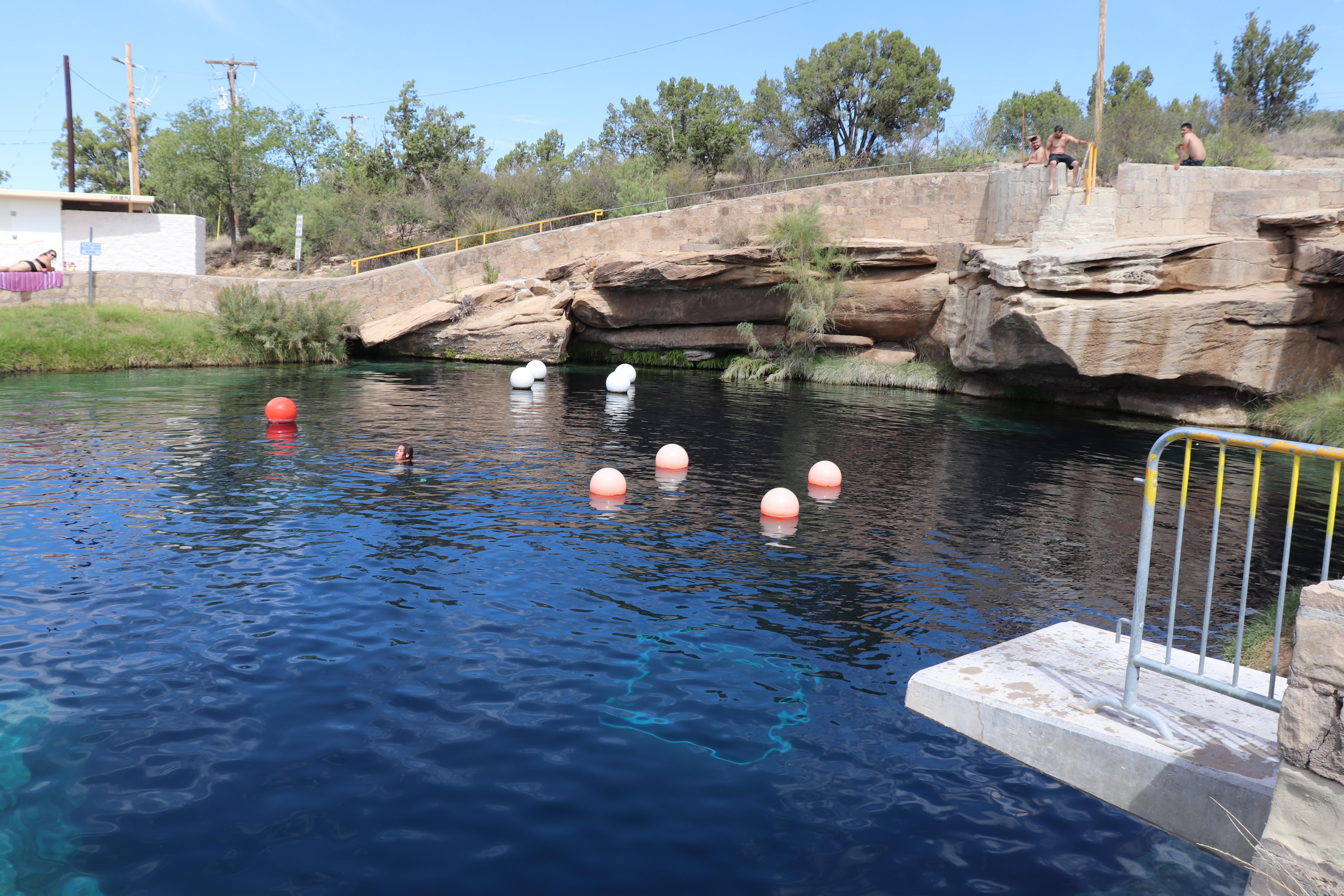
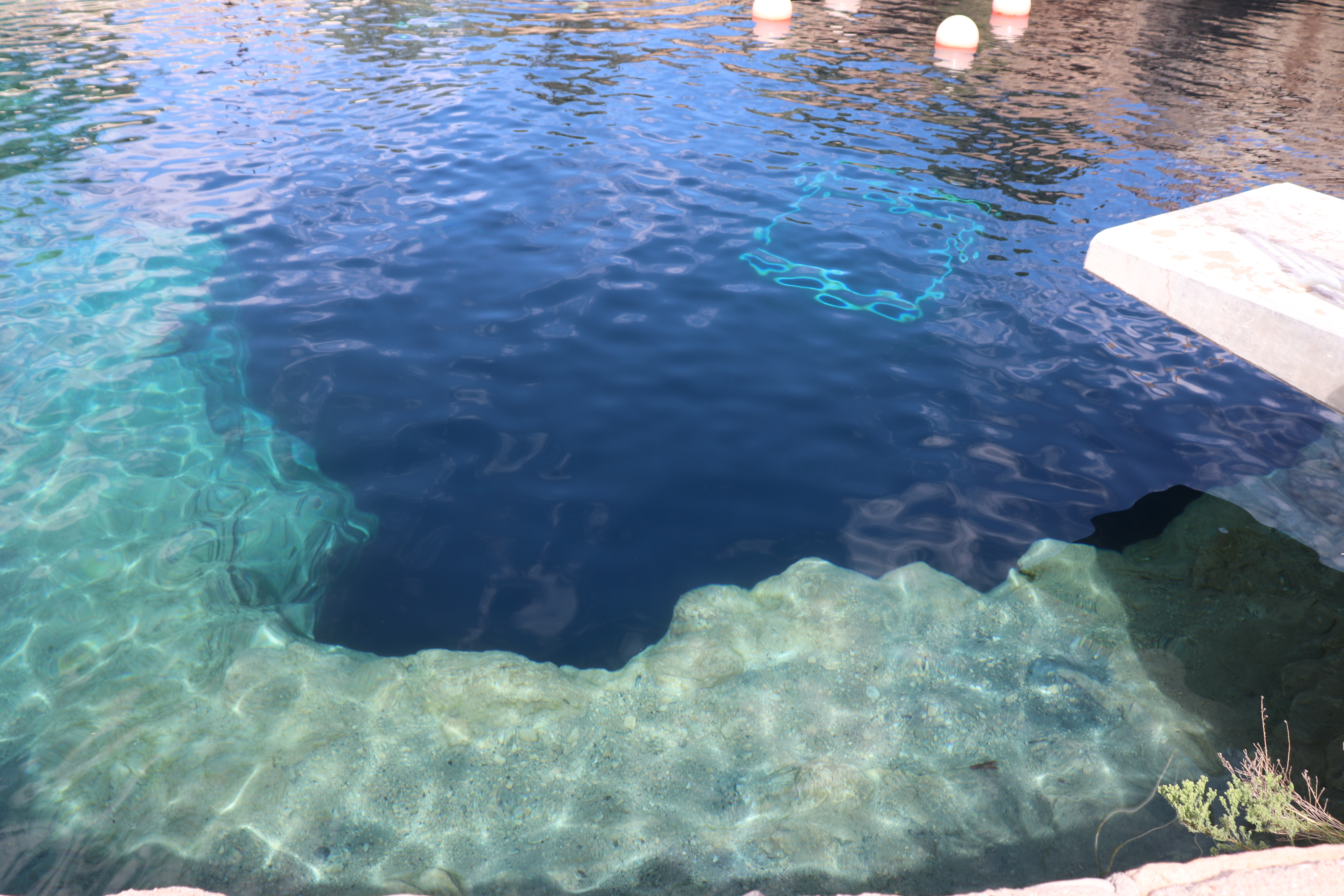
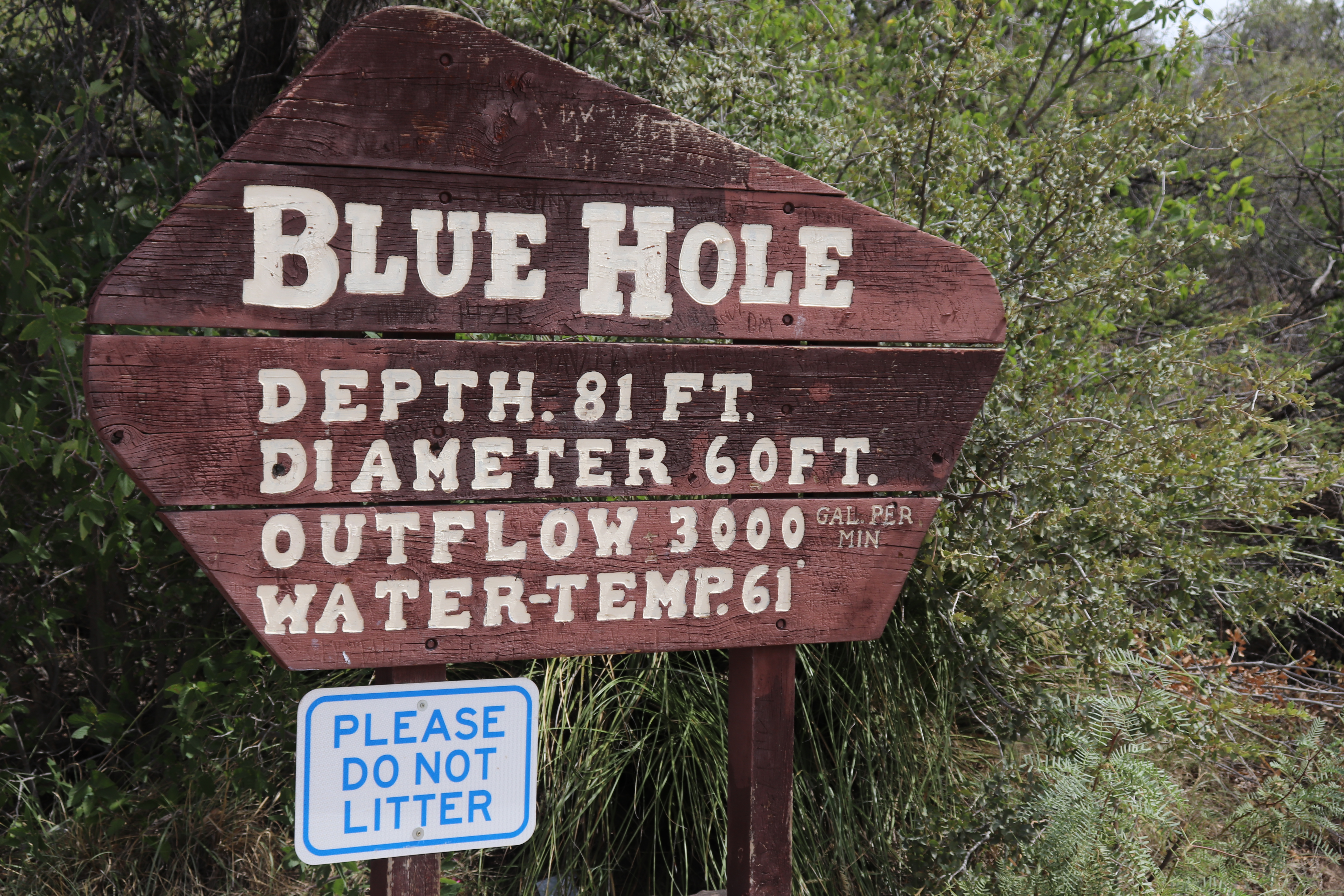
I’ve haven’t had much wind today so far which is nice. The land out here is barren. There’s nothing more than short bushes that pepper the landscape. My next stop is in Santa Rosa. I want to see the Blue Hole which is a natural spring. There’s a park around the site and the parking lots are filled with show cars, a ton of them. There’s easily a few hundred of them. There’s also several food trucks and dozens of vendor tents. I’ve happened upon the Pecos Sunflower Festival. The area is packed with people. The Blue Hole is a 60 foot wide water hole that is spring fed and remains a constant 61 degrees. It’s 81 feet deep and is often used to teach scuba diving lessons. Anyone is welcome to just in at anytime, at no charge. In the New Mexico heat, a 61 degree plunge probably feels pretty good.
Route 66 mostly runs along I-40 in this area and continues on to Albuquerque. The original road, however, cut north and into Santa Fe. That’s what I’m doing. I cut north and for many miles it’s mostly long, straight runs until I begin to climb into hills. This stretch of road is the original route from pre-1937. It’s still a heavily travelled road and has been well maintained throughout the years. The flat, barren landscape changes to rocky ridges and mesquite covered hills. It’s a 50 mile run up to I-25, just south of Las Vegas (not the one, I’m still in New Mexico). I-25 rolls through the mountains and is very windy. Heavy gusts come out of nowhere and shove me across the road. It’s always by surprise and never a good time. Another 50 miles into Santa Fe.
Many of the buildings in Santa Fe are adobe style. Squared off structures that sometimes have rounded edges. My intention is to get lunch here but I come into a downtown area where parking is limited. The only parking available is paid parking. I can’t find anything close enough to anywhere worth checking out for lunch and soon decide to just head back south into Albuquerque. The wind gusts remain until I get back down into the flatlands. Albuquerque isn’t too bad until is get near the fair grounds. It’s state fair time and traffic, albeit not terrible, gets slow. I have stop planned for a really cool looking Route 66 sign. I don’t see it as I get to the location and decide to pull off into a gas station down the street. Albuquerque has a really bad homeless problem. There’s dozens of them in this area. Rows of people line the sides of the buildings, some just sitting, others trying to sleep. As I pull into the gas station I notice two of them on the ground fighting, the others around just watch, not a single phone amongst them but they all still just watch. I however want none of it and decide to just turn around and head back the way I came.
Traffic is slow moving into downtown. I never find the sign I was looking for. I pass by a small park that is littered with small groups of homeless people, all sitting under the shade of the trees. Most of homeless I see are extremely malnourished. I don’t know how any of these people got to where they are but it’s a scary and sobering sight to see. It’s something I believe our government, both state and federal, should be actively trying to fix. If they are, I don’t see it. At least not in Albuquerque.
Getting to the west end of town takes a good while. 66 is mostly one lane through town and it traffic moves slowly. The signage for the route has been pretty good throughout the trip. The states have done a really good job of marking turnoffs. There could be more signage but it’s been better than I was expecting. In the cities, it’s a bit different. Through Albuquerque I’m actually following the bus route signs. The signs list the street name, Central, and 66. As long as I follow that I know I’m still tracking.
At the edge of town I stop to look for lodging for the night. I’d love to get to Gallup but the campground there has closed, permanently. It’s also 100 miles away. Grants is only about 60 miles out and had a campground that is still active. The wind is still giving me problems but it’s nowhere near as bad as on I-25. It’s a long 60 miles into Grants but I get through it it and arrive at camp. Before even walking into the office, I notice everyone outside is wearing overalls. It’s only about six people and they’re probably all together, but every one of them is wearing overalls. Odd, but whatever.
Into the office and I’m told they have no tent sites with electric. Electric is important as I spend multiple hours sometimes writing these posts, I need to charge my phone, sometimes my camera battery. I also need to charge my lights, which I do overnight, after I’ve used them. I’m told that they weren’t full until a couple hours prior. They suddenly got hit with several arrivals and quickly filled up. I asked about cabins or even RV sights, no joy, all booked up. I opt to run a couple miles back and get a room. There’s not much to speak of as far as food here so I’ve decided on Pizza Hut delivery. I got over 450 miles in today which is a big chunk and will hopefully help to give me some time to play with tomorrow. Not sure what all I am headed into but I know I’ll get into Arizona. Route 66 runs through eight states, I’ve hit six of them now. Won’t be long before I hit the coast and turn around to head towards home.
 The Motorcycle Diaries of an Easy Rider